geo.wikisort.org - Reservoir
Evretou Dam (Greek: Φράγμα Ευρέτου) is the third largest dam in Cyprus and also the largest rock-fill dam on the island.[1] It lies at an altitude of 165 m and is located about 15 km south of Polis Chrysochou, next to the abandoned village of Evretou. It is part of the Chrysochou Irrigation Project, the construction of which cost a total of CYP £21,000,000.[2]
| Evretou dam | |
|---|---|
 | |
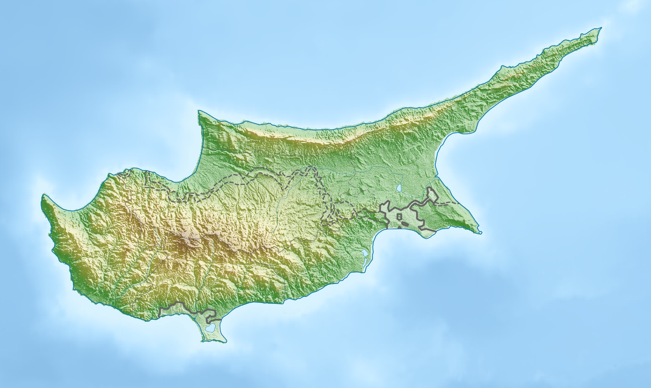 Location of Evretou dam in Cyprus | |
| Official name | Evretou dam Φράγμα Ευρέτου |
| Country | Cyprus |
| Location | Evretou |
| Coordinates | 34.96°N 32.47°E |
| Purpose | Irrigation |
| Status | Operational |
| Opening date | 1986 |
| Construction cost | CYP £18,000,000 |
| Built by | Shephard Hill - Zachariades Joint Venture |
| Designed by | Sir William Halcrow and Partners |
| Owner(s) | Republic of Cyprus |
| Operator(s) | Water Development Department of Cyprus |
| Dam and spillways | |
| Type of dam | Rock-fill dam |
| Impounds | Stavros tis Psokas river |
| Height | 70 m |
| Length | 260 m |
| Dam volume | 1400000 m3 |
| Spillway length | 182 m |
| Spillway volumetric flow rate | 360 m3/s |
| Reservoir | |
| Total capacity | 24000000 m3 |
| Catchment area | 91 km2 |
| Surface area | 1250000 m2 |
See also
- List of reservoirs and dams in Cyprus
References
- Brown, A. J. (20 May 1988). "Use of soft rockfill at Evretou Dam, Cyprus". Geotechnique. 38 (3): 333–354. doi:10.1680/geot.1988.38.3.333. Retrieved 2007-01-30.
- Water Development Department, Chrysochou Irrigation Project
Текст в блоке "Читать" взят с сайта "Википедия" и доступен по лицензии Creative Commons Attribution-ShareAlike; в отдельных случаях могут действовать дополнительные условия.
Другой контент может иметь иную лицензию. Перед использованием материалов сайта WikiSort.org внимательно изучите правила лицензирования конкретных элементов наполнения сайта.
Другой контент может иметь иную лицензию. Перед использованием материалов сайта WikiSort.org внимательно изучите правила лицензирования конкретных элементов наполнения сайта.
2019-2025
WikiSort.org - проект по пересортировке и дополнению контента Википедии
WikiSort.org - проект по пересортировке и дополнению контента Википедии