geo.wikisort.org - Reservoir
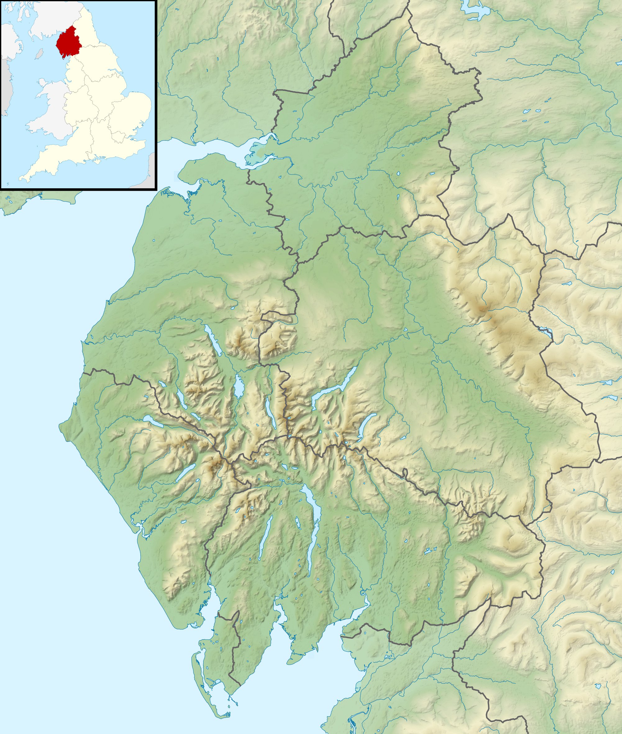
Dockey Tarn is a small lake in South Lakeland district, Cumbria, England. It is located at a height of 379.3 m (1,244 ft), on the west slope below the ridge from Nab Scar to Heron Pike, about 700 m (2,300 ft) south-east of Alcock Tarn, and about 2 km (1.2 mi) east of Grasmere.[1] It has been said to be one of the smallest tarns in the Lake District which is named on Ordnance Survey maps; it does not appear on their maps at 1:50,000 scale[2] but is marked and named on their 1:25,000 maps.[3]
| Dockey Tarn | |
|---|---|
 Dockey Tarn in 2012 | |
 Dockey Tarn | |
| Location | Cumbria, England |
| Coordinates | 54.4569°N 2.9989°W |
| Type | Lake |
| Surface elevation | 379.3 metres (1,244 ft) |
A visitor in 2018 reported that the tarn had at that time dried up completely.[4]
The name of the tarn appeared in a 1749 document spelled "Dockrey Tarn", and is believed to derive from the local family surname Dockray.[5]
References
- "Dockey Tarn, South Lakeland". OS GetOutside. Ordnance Survey. Retrieved 19 September 2022.
- "Ordnance Survey 1:50,000 map centred on location of Dockey Tarn". Streetmap. Retrieved 19 September 2022.
- "Ordnance Survey 1:25,000 map centred on Dockey Tarn". Streetmap. Retrieved 19 September 2022.
- "#72: Dockey Tarn". SwimmingTheLakes. 18 May 2018. Retrieved 19 September 2022.
- "Dockey Tarn". epns.nottingham.ac.uk. Survey of English Place-Names. Retrieved 19 September 2022.
This Cumbria location article is a stub. You can help Wikipedia by expanding it. |
На других языках
[de] Dockey Tarn
Der Dockey Tarn ist ein See im Lake District, Cumbria, England.- [en] Dockey Tarn
Другой контент может иметь иную лицензию. Перед использованием материалов сайта WikiSort.org внимательно изучите правила лицензирования конкретных элементов наполнения сайта.
WikiSort.org - проект по пересортировке и дополнению контента Википедии