geo.wikisort.org - Reservoir
Crag Lough is an inland lake at the southern edge of Northumberland National Park, 2.5 miles (4.0 km) north of Bardon Mill, and 0.5 miles (0.8 km) north of the B6318 Military Road in Northumberland, northern England. At this point Hadrian's Wall is at the top of a line of crags, the Whin Sill, with Crag Lough at the foot of the crags.[1][2][3]
This article needs additional citations for verification. (September 2014) |
| Crag Lough | |
|---|---|
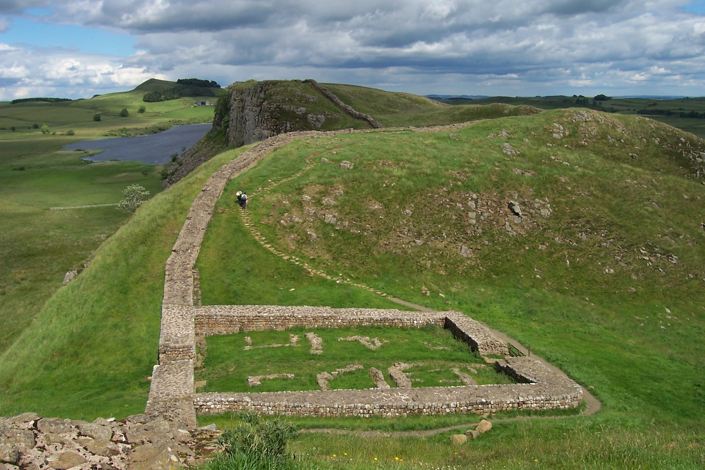 Milecastle 39 on Hadrian's Wall, with Crag Lough in the distance | |
 Crag Lough | |
| Location | Northumberland |
| Group | Roman Wall Loughs |
| Coordinates | 55.006°N 2.366°W |
| Type | Natural freshwater lake |
| Basin countries | England |
| Max. length | 1,970 feet (600 m) |
| Max. width | 425 feet (130 m) |

Etymology
The etymology of Crag Lough is linked to the Cumbric word luch, meaning 'lake' (c.f. Welsh llwch, Scottish Gaelic loch).[4] The 'Crag' element is probably from a word equivalent to Welsh craig, 'cliff'.
See also
References
- "3. Hadrian's Wall Walk Milecastle 39 Crag Lough Highshield Crags ..." docbrown.info. Retrieved 11 February 2014.
- "Crag Lough". fellingflyfishers.co.uk. Retrieved 11 February 2014.
- "Crag Lough, Northumberland" (PDF). opalexplorenature.org. Retrieved 11 February 2014.
- "Archived copy" (PDF). Archived from the original (PDF) on 27 December 2016. Retrieved 26 December 2016.
{{cite web}}: CS1 maint: archived copy as title (link)
External links
![]() Media related to Crag Lough at Wikimedia Commons
Media related to Crag Lough at Wikimedia Commons
This Northumberland location article is a stub. You can help Wikipedia by expanding it. |
Текст в блоке "Читать" взят с сайта "Википедия" и доступен по лицензии Creative Commons Attribution-ShareAlike; в отдельных случаях могут действовать дополнительные условия.
Другой контент может иметь иную лицензию. Перед использованием материалов сайта WikiSort.org внимательно изучите правила лицензирования конкретных элементов наполнения сайта.
Другой контент может иметь иную лицензию. Перед использованием материалов сайта WikiSort.org внимательно изучите правила лицензирования конкретных элементов наполнения сайта.
2019-2026
WikiSort.org - проект по пересортировке и дополнению контента Википедии
WikiSort.org - проект по пересортировке и дополнению контента Википедии