geo.wikisort.org - Stillgewässer
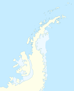
Der Moutonnée Lake ist ein See an der Ostküste der westantarktischen Alexander-I.-Insel. Er liegt 6 km südlich des Ablation Point im Moutonnée Valley am Rand des mit Schelfeis bedeckten George-VI-Sunds.
| Moutonnée Lake | ||
|---|---|---|
| Geographische Lage | Alexander-I.-Insel, Antarktis | |
| Daten | ||
| Koordinaten | 70° 51′ 59″ S, 68° 20′ 1″ W | |
| ||
Die Benennung des Sees erfolgte 1971 im Zuge limnologischer Untersuchungen durch den British Antarctic Survey. Namensgebend ist das Rundhöckergestein (französisch Roches moutonnées) an seinen Ufern.
Weblinks
- Moutonnée Lake im Geographic Names Information System des United States Geological Survey (englisch)
- Moutonnée Lake auf geographic.org (englisch)
На других языках
- [de] Moutonnée Lake
[en] Moutonnée Lake
Moutonnée Lake is a sub-glacial lake that lies within Moutonnee Valley, marginal to the George VI Ice Shelf, 7 km (4.3 mi) south of Ablation Point indenting the east coast of Alexander Island, facing the west coast of Palmer Land, Antarctica. Following limnological and tidal studies by the British Antarctic Survey (BAS) from 1971, it was named by the United Kingdom Antarctic Place-Names Committee (UK-APC) from the presence of roche moutonnées on its shores. As with nearby Ablation and Hodgson Lakes, Moutonnée receives large masses of ice from the adjacent George VI Ice Shelf in George VI Sound, making life in the lake unsustainable. The site lies within Antarctic Specially Protected Area (ASPA) No.147.[1]Текст в блоке "Читать" взят с сайта "Википедия" и доступен по лицензии Creative Commons Attribution-ShareAlike; в отдельных случаях могут действовать дополнительные условия.
Другой контент может иметь иную лицензию. Перед использованием материалов сайта WikiSort.org внимательно изучите правила лицензирования конкретных элементов наполнения сайта.
Другой контент может иметь иную лицензию. Перед использованием материалов сайта WikiSort.org внимательно изучите правила лицензирования конкретных элементов наполнения сайта.
2019-2025
WikiSort.org - проект по пересортировке и дополнению контента Википедии
WikiSort.org - проект по пересортировке и дополнению контента Википедии