geo.wikisort.org - Stillgewässer
Dingevatnet (oder Dingevatn[1]) ist der Name eines Sees in der Kommune Gulen in der norwegischen Provinz Vestland.
| Dingevatnet | ||
|---|---|---|
 | ||
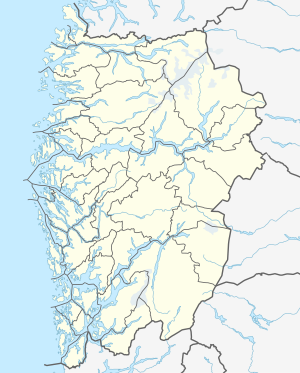
| Geographische Lage | Gulen in Vestland (Norwegen) | |
| Abfluss | Dingjaelva → Dingevågn (Europäisches Nordmeer) | |
| Daten | ||
| Koordinaten | 61° 1′ 59″ N, 5° 5′ 19″ O | |
| ||
| Höhe über Meeresspiegel | 26 m | |
| Fläche | 2,84 km² | |
| Umfang | 13,97 km | |
| Maximale Tiefe | 220 m | |
Siehe auch
Einzelnachweise und Fußnoten
- Das Suffix „-et“ ist die norwegische Form des bestimmten sächlichen Artikels. Daher gibt es die beiden Formen Dingevatnet und Dingevatn.
На других языках
- [de] Dingevatnet
[en] Dingevatn
Dingevatn or Dingevatnet is the 18th deepest lake in Norway, reaching a maximum depth of 220 metres (720 ft). It is located in the municipality of Gulen in Vestland county. The 2.84-square-kilometre (1.10 sq mi) lake is located just east of the village of Dingja, about 1 kilometre (0.62 mi) southeast of the mouth of the Sognefjorden. The lake lies about 4 kilometres (2.5 mi) north of the municipal center of Eivindvik. The lake flows out into the small Dingjaelva river, which runs past the village of Dingja before emptying into the Sognesjøen strait.[1][2]Текст в блоке "Читать" взят с сайта "Википедия" и доступен по лицензии Creative Commons Attribution-ShareAlike; в отдельных случаях могут действовать дополнительные условия.
Другой контент может иметь иную лицензию. Перед использованием материалов сайта WikiSort.org внимательно изучите правила лицензирования конкретных элементов наполнения сайта.
Другой контент может иметь иную лицензию. Перед использованием материалов сайта WikiSort.org внимательно изучите правила лицензирования конкретных элементов наполнения сайта.
2019-2026
WikiSort.org - проект по пересортировке и дополнению контента Википедии
WikiSort.org - проект по пересортировке и дополнению контента Википедии