geo.wikisort.org - Stillgewässer
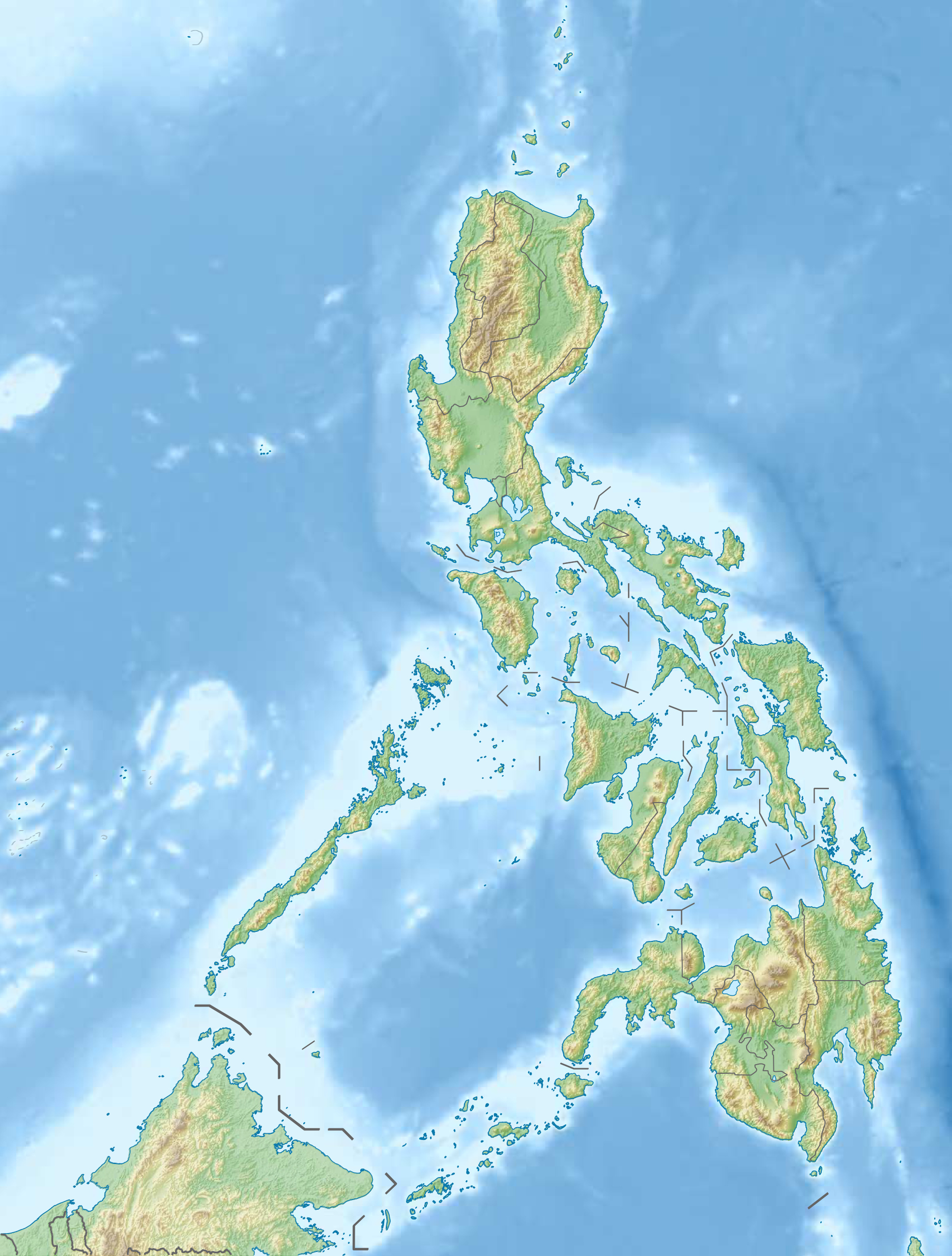
Der Bato-See liegt in der Provinz Camarines Sur, 9 km südwestlich von Iriga City in der Region Bicol auf den Philippinen. Der See liegt westlich des Vulkans Iriga, an seinem Ufer liegt die gleichnamige Gemeinde Bato.
| Bato-See | ||
|---|---|---|
| Geographische Lage | Provinz Camarines Sur, Bicol-Region, Philippinen | |
| Abfluss | zum Bicol-Fluss | |
| Orte am Ufer | Bato | |
| Daten | ||
| Koordinaten | 13° 20′ 0″ N, 123° 22′ 0″ O | |
| ||
| Höhe über Meeresspiegel | 10 m | |
| Fläche | 28,1 km²[1] | |
| Mittlere Tiefe | 8 m[1] | |
Der See umfasst eine Fläche von 28,10 km² und gehört zum Wassereinzugsgebiet des Bicol-Flusses. Wichtige kommerziell genutzte Fischarten sind Raubwelse (Clarias sp.), die Tilapien Tilapia mossambica und Tilapia nilotica und der Karpfen (Cyprinus carpio). Der Kletterfisch Anabas testudineus ist im Seegebiet ebenso beheimatet wie Garnelen der Gattung Macrobrachium.
Weblinks
Einzelnachweise
- Siehe Weblink ASEAN Centre for Biodiversity
На других языках
- [de] Bato-See
[en] Lake Bato
Lake Bato is a freshwater lake and the 7th largest in the Philippines. It is located in the town of Bato, approximately 9 kilometres (5.6 mi) southwest of Iriga City, Camarines Sur Province, southeastern Luzon, Philippines. It has extensive marshes and swamp forests. The lake drains into a tributary of the Bicol River which enters the sea near Naga City. Average depth is 8 metres (26 ft), and the bottom is muddy clay. The pH value is 6.1, the average dissolved oxygen 10 p.p.m., and the total hardness (SBY) 2.4.[1]Текст в блоке "Читать" взят с сайта "Википедия" и доступен по лицензии Creative Commons Attribution-ShareAlike; в отдельных случаях могут действовать дополнительные условия.
Другой контент может иметь иную лицензию. Перед использованием материалов сайта WikiSort.org внимательно изучите правила лицензирования конкретных элементов наполнения сайта.
Другой контент может иметь иную лицензию. Перед использованием материалов сайта WikiSort.org внимательно изучите правила лицензирования конкретных элементов наполнения сайта.
2019-2026
WikiSort.org - проект по пересортировке и дополнению контента Википедии
WikiSort.org - проект по пересортировке и дополнению контента Википедии