geo.wikisort.org - Montagne
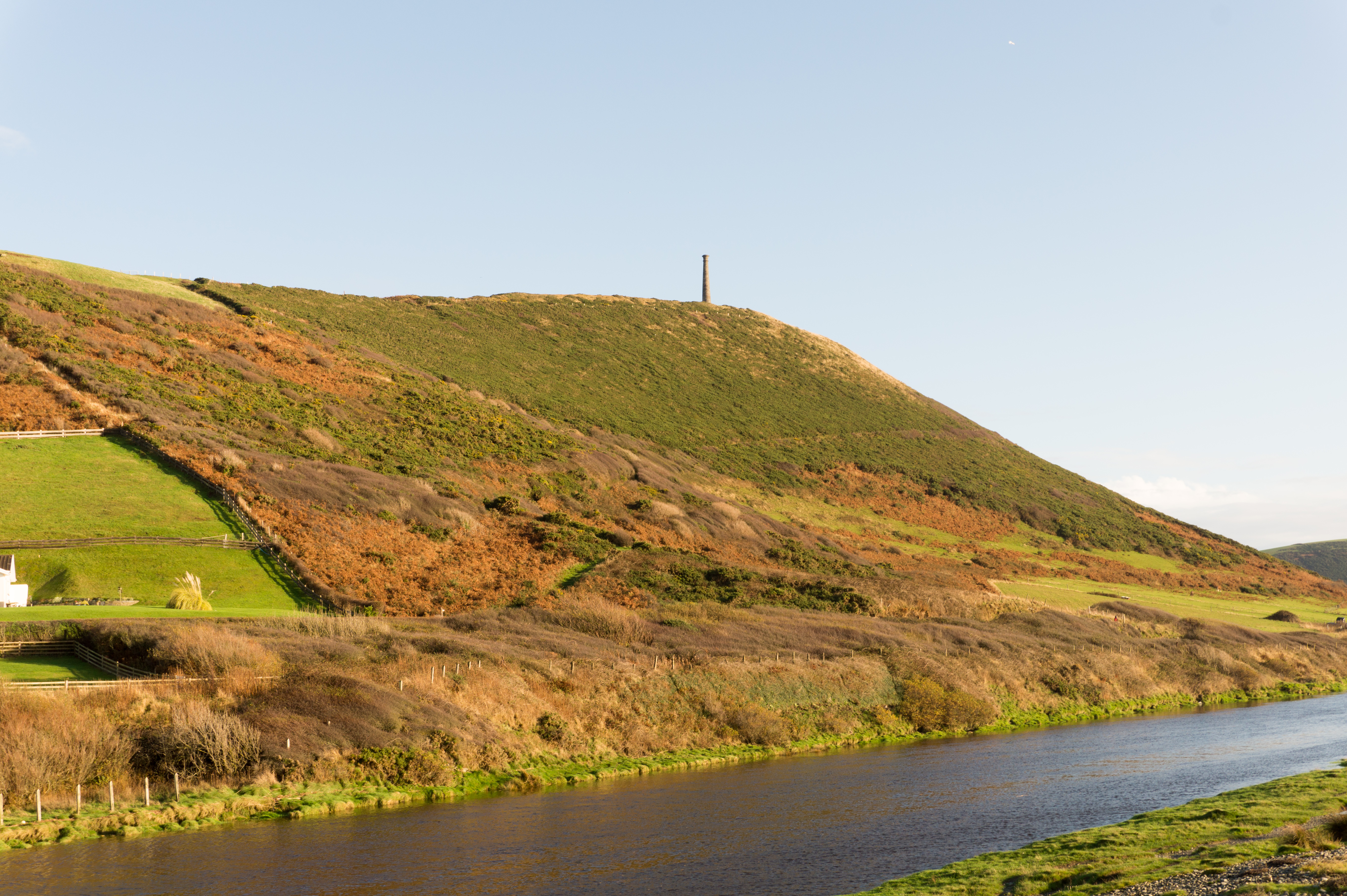
Pen Dinas è una collina di 170 m s.l.m.[1] ad Aberystwyth (Galles). L'altura fu usata come forte militare sia dall'Età del Ferro, dove coloni costruirono una grande fortezza-vedetta. Tuttavia, le difese in legno si dimostrarono troppo vulnerabili di fronte alle nuove tecniche militari. Per questa ragione una nuova fortezza fu costruita nel 1277: il castello di Aberystwyth.
| Pen Dinas | |
|---|---|
 | |
| Stato | |
| Regione/area/distretto | |
| Altezza | 170 m s.l.m. |
| Coordinate | 52°24′10.8″N 4°04′57″W |
| Mappa di localizzazione | |
 Pen Dinas | |
Note
- (EN) Pen Dinas, su hill-bagging.co.uk, Hill Bagging. URL consultato il 28 marzo 2021.
Altri progetti
 Wikimedia Commons contiene immagini o altri file su Pen Dinas
На других языках
[en] Pen Dinas
Pen Dinas is the name of a large hill within the boundary of the village of Penparcau, on the coast of Ceredigion, Wales, (just south of Aberystwyth) upon which an extensive Iron Age, Celtic hillfort of international significance is situated. The site can easily be reached on foot from Aberystwyth town center and is accessible via a series of well marked trails. Boasting a commanding position at the confluence of the River Ystwyth and Afon Rheidol, it has been described as "the pre-eminent hillfort on the Cardigan Bay coast".[1]- [it] Pen Dinas
Текст в блоке "Читать" взят с сайта "Википедия" и доступен по лицензии Creative Commons Attribution-ShareAlike; в отдельных случаях могут действовать дополнительные условия.
Другой контент может иметь иную лицензию. Перед использованием материалов сайта WikiSort.org внимательно изучите правила лицензирования конкретных элементов наполнения сайта.
Другой контент может иметь иную лицензию. Перед использованием материалов сайта WikiSort.org внимательно изучите правила лицензирования конкретных элементов наполнения сайта.
2019-2025
WikiSort.org - проект по пересортировке и дополнению контента Википедии
WikiSort.org - проект по пересортировке и дополнению контента Википедии