geo.wikisort.org - Montagne
Fan Brycheiniog è la montagna più alta della catena delle Black Mountain nel Powys sudoccidentale, quasi al confine con il Carmarthenshire. L'altezza relativa, o "prominenza topografica" della vetta, è di 424 metri: questa è l'altezza alla quale la vetta si eleva al di sopra del colle che la separa della montagna più vicina di altezza maggiore. Sebbene generalmente accettata come parte delle Black Mountain, a volte viene anche indicata come un punto del Carmarthenshire.
| Fan Brycheiniog | |
|---|---|
 | |
| Stato | |
| Regione | |
| Altezza | 802,5 m s.l.m. |
| Prominenza | 424 m |
| Isolamento | 18,02 km |
| Coordinate | 51°52′53.18″N 3°42′30.53″W |
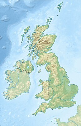
| Mappa di localizzazione | |
 Fan Brycheiniog | |
C'è un sentiero per la vetta che parte dal villaggio di Llanddeusant. A nord-ovest della vetta principale si trova la vetta inferiore del Fan Foel (781 m), La vetta più alta del Carmarthenshire.
Le vette del Galles e del resto del Regno Unito sono classificate come elenchi speciali per altezza e rilievo; queste vette si chiamano Marilyn, Hewitt e Nuttall. Molte società misurano, controllano e raccolgono questi elenchi e si riuniscono sul sito web "Database of British and Irish Hills".[1] L'altezza della vetta dal livello del mare è di 802 metri (2631 piedi). L'altezza è stata misurata e confermata il 28 ottobre 2001.
Note
Altri progetti
 Wikimedia Commons contiene immagini o altri file su Fan Brycheiniog
Collegamenti esterni
- (EN) Fan Brycheiniog, su Peakbagger.com.
На других языках
[en] Fan Brycheiniog
Fan Brycheiniog is the highest peak at a height of 802.5 metres (2,633 ft) (above sea level) in the Black Mountain (Y Mynydd Du) region of the Brecon Beacons National Park in southern Wales. There is a trig point at the peak and on the edge of the escarpment, and nearby, a stone shelter with an inner seat. It lies just inside the historic county of Brecknockshire (now part of the Powys council area) which gives the mountain its Welsh name. A subsidiary top (Fan Foel), less than a kilometre from the summit along the ridge to the northwest, is the highest point (county top) of the neighboring county of Carmarthenshire. Fan Brycheiniog is also within the Fforest Fawr Geopark designated in 2005 in recognition of the area's geological heritage.[1] The views of the moorland and open country to the north are spectacular when the weather is clear, and reveals the isolation of the range, especially when compared with the more popular Pen y Fan range to the east.- [it] Fan Brycheiniog
Другой контент может иметь иную лицензию. Перед использованием материалов сайта WikiSort.org внимательно изучите правила лицензирования конкретных элементов наполнения сайта.
WikiSort.org - проект по пересортировке и дополнению контента Википедии