geo.wikisort.org - Montagne
Le Witteberghore est un sommet des Préalpes vaudoises à la frontière entre le canton de Vaud et celui de Berne. Il se situe approximativement entre L'Étivaz (Vaud) et Feutersoey (Berne), au sud du col de Jable.
Cet article est une ébauche concernant la montagne.
Vous pouvez partager vos connaissances en l’améliorant (comment ?) selon les recommandations des projets correspondants.
| Witteberghore | ||||
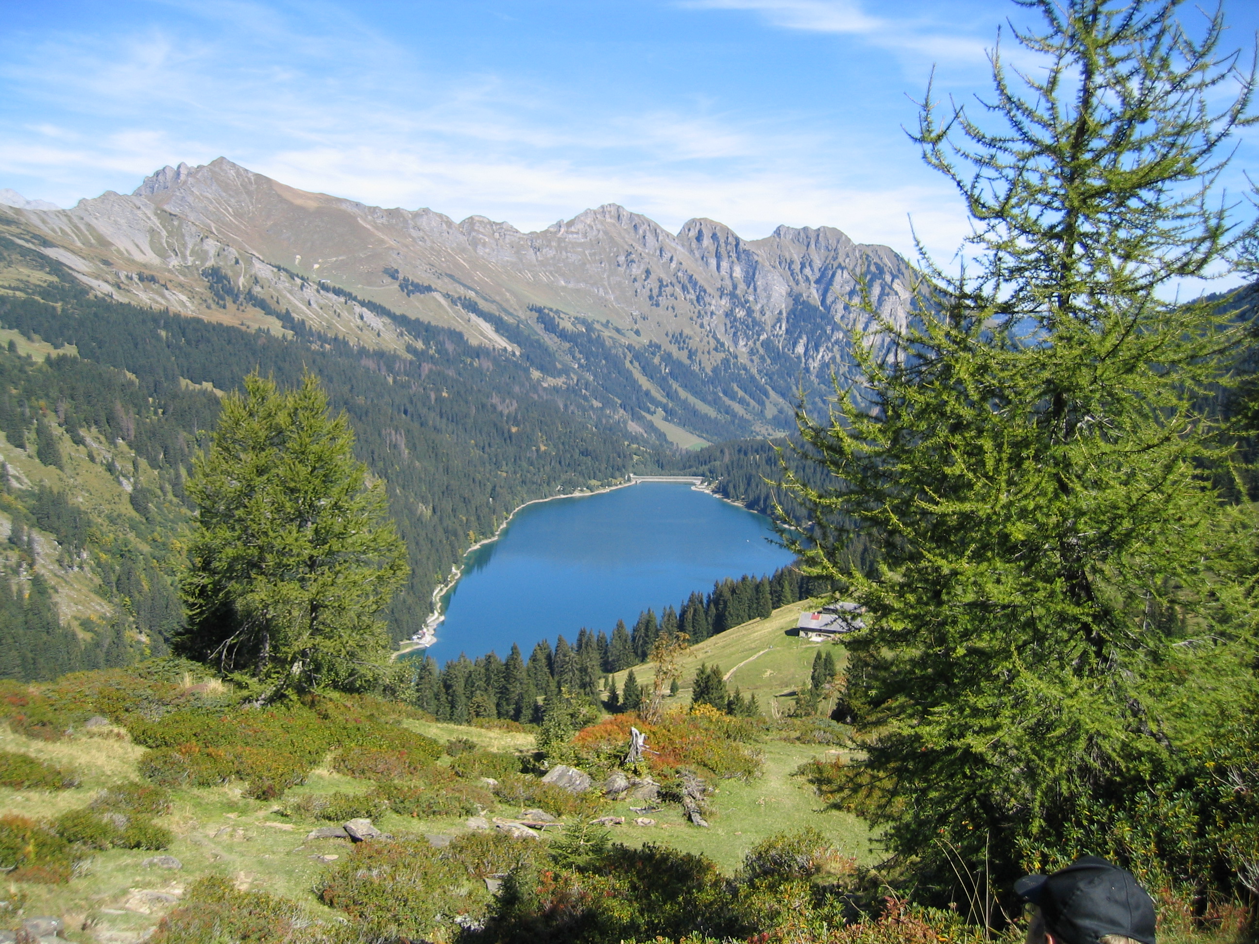 Le Witteberghore (gauche) avec le lac d'Arnon. | ||||
| Géographie | ||||
|---|---|---|---|---|
| Altitude | 2 350 m[1] | |||
| Massif | Alpes bernoises (Alpes) | |||
| Coordonnées | 46° 24′ 58″ nord, 7° 12′ 35″ est[1] | |||
| Administration | ||||
| Pays | ||||
| Canton | Vaud Berne |
|||
| District Arrondissement |
Riviera-Pays-d'Enhaut Haut-Simmental-Gessenay |
|||
| Géolocalisation sur la carte : canton de Berne
Géolocalisation sur la carte : canton de Vaud
Géolocalisation sur la carte : Suisse
| ||||
| modifier |
||||

Notes et références
- Visualisation sur Swisstopo.
 Portail de la montagne
  Portail des Alpes
  Portail du canton de Vaud
  Portail de l’Espace Mittelland
  Portail de la géographie de la Suisse
На других языках
[en] Wittenberghorn
The Wittenberghorn is a mountain of the Bernese Alps, located on the border between the Swiss cantons of Vaud and Bern. It lies approximately halfway between L'Etivaz (Vaud) and Feutersoey (Bern), south of the Col de Jable.- [fr] Witteberghore
Текст в блоке "Читать" взят с сайта "Википедия" и доступен по лицензии Creative Commons Attribution-ShareAlike; в отдельных случаях могут действовать дополнительные условия.
Другой контент может иметь иную лицензию. Перед использованием материалов сайта WikiSort.org внимательно изучите правила лицензирования конкретных элементов наполнения сайта.
Другой контент может иметь иную лицензию. Перед использованием материалов сайта WikiSort.org внимательно изучите правила лицензирования конкретных элементов наполнения сайта.
2019-2026
WikiSort.org - проект по пересортировке и дополнению контента Википедии
WikiSort.org - проект по пересортировке и дополнению контента Википедии