geo.wikisort.org - Montagne
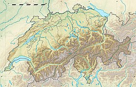
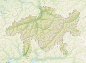
Le Tödi est, avec une altitude 3 613 mètres, le plus haut sommet des Alpes glaronaises, à cheval entre les cantons de Glaris et des Grisons.
| Tödi | |
 Le sommet du Tödi depuis le Gemsfairenstock | |
| Géographie | |
|---|---|
| Altitude | 3 613 m, Piz Russein[1] |
| Massif | Alpes glaronaises (Alpes) |
| Coordonnées | 46° 48′ 40″ nord, 8° 54′ 53″ est[1] |
| Administration | |
| Pays | |
| Cantons | Grisons Glaris |
| Région | Surselva |
| Ascension | |
| Première | , par A. Bisquolm et P. Curschellas |
| Voie la plus facile | Versant Nord-Est depuis le refuge Fridolins |
| Géologie | |
| Roches | Calcaires |
| modifier |
|
Alpinisme
- 1824 - Première ascension par A. Bisquolm et P. Curschellas, le 1er septembre
- 1920 - Face est par Hans Lauper
Notes et références
- Visualisation sur Swisstopo.
- Portail de la géographie de la Suisse
- Portail de la montagne
- Portail des Alpes
- Portail du canton des Grisons
- Portail de la Suisse orientale
На других языках
[de] Tödi
Der Tödi ist der höchste Gipfel der Glarner Alpen. Über den Gipfel verläuft die Grenze der Schweizer Kantone Glarus und Graubünden. Er ist stark vergletschert und nur schwer zugänglich. Der Tödi gliedert sich in die drei aus der Ferne nur undeutlich hervortretenden Gipfel Piz Russein (3612 m ü. M., Westgipfel), Glarner Tödi (3570 m ü. M., Ostgipfel) und Sandgipfel (3390 m ü. M., Nordgipfel).[en] Tödi
The Tödi (3,613 metres (11,854 ft)), is a mountain massif and with the mountain peak Piz Russein the highest mountain in the Glarus Alps and the highest summit in the canton of Glarus, Switzerland. It is located on the border between the cantons of Graubünden, to the south, and Glarus, to the north, close to the point where those two cantons meet the canton of Uri, to the west. Although not the culminating point of Graubünden, it is its highest peak outside the Bernina range.[es] Tödi
El Tödi (en alemán) o Piz Russein (en romanche) es el pico más alto del macizo del mismo nombre y del conjunto de los Alpes de Glaris, situados en la Suiza central.- [fr] Tödi
[it] Tödi
Il Tödi (in romancio Piz Russein) è una montagna delle Alpi alta 3.614 m s.l.m., situata in Svizzera, la vetta principale e più alta delle Alpi Glaronesi.Текст в блоке "Читать" взят с сайта "Википедия" и доступен по лицензии Creative Commons Attribution-ShareAlike; в отдельных случаях могут действовать дополнительные условия.
Другой контент может иметь иную лицензию. Перед использованием материалов сайта WikiSort.org внимательно изучите правила лицензирования конкретных элементов наполнения сайта.
Другой контент может иметь иную лицензию. Перед использованием материалов сайта WikiSort.org внимательно изучите правила лицензирования конкретных элементов наполнения сайта.
2019-2025
WikiSort.org - проект по пересортировке и дополнению контента Википедии
WikiSort.org - проект по пересортировке и дополнению контента Википедии


