geo.wikisort.org - Montagne
The Storr est un sommet du Royaume-Uni situé en Écosse, sur l'île de Skye. Il domine une zone de chaos rocheux située sur son flanc oriental et comprenant l'Old Man of Storr. Le Skye Trail passe par son sommet.
 Portail de la montagne
  Portail de l’Écosse
Pour les articles homonymes, voir Storr.
Cet article est une ébauche concernant la montagne et l’Écosse.
Vous pouvez partager vos connaissances en l’améliorant (comment ?) selon les recommandations des projets correspondants.
| The Storr | ||||
 The Storr vu depuis l'est. | ||||
| Géographie | ||||
|---|---|---|---|---|
| Altitude | 719 m | |||
| Massif | Trotternish | |||
| Coordonnées | 57° 30′ 28″ nord, 6° 11′ 00″ ouest | |||
| Administration | ||||
| Pays | ||||
| Nation constitutive | ||||
| Council Area | Highland | |||
| Ascension | ||||
| Voie la plus facile | Skye Trail | |||
| Géologie | ||||
| Type | Marilyn | |||
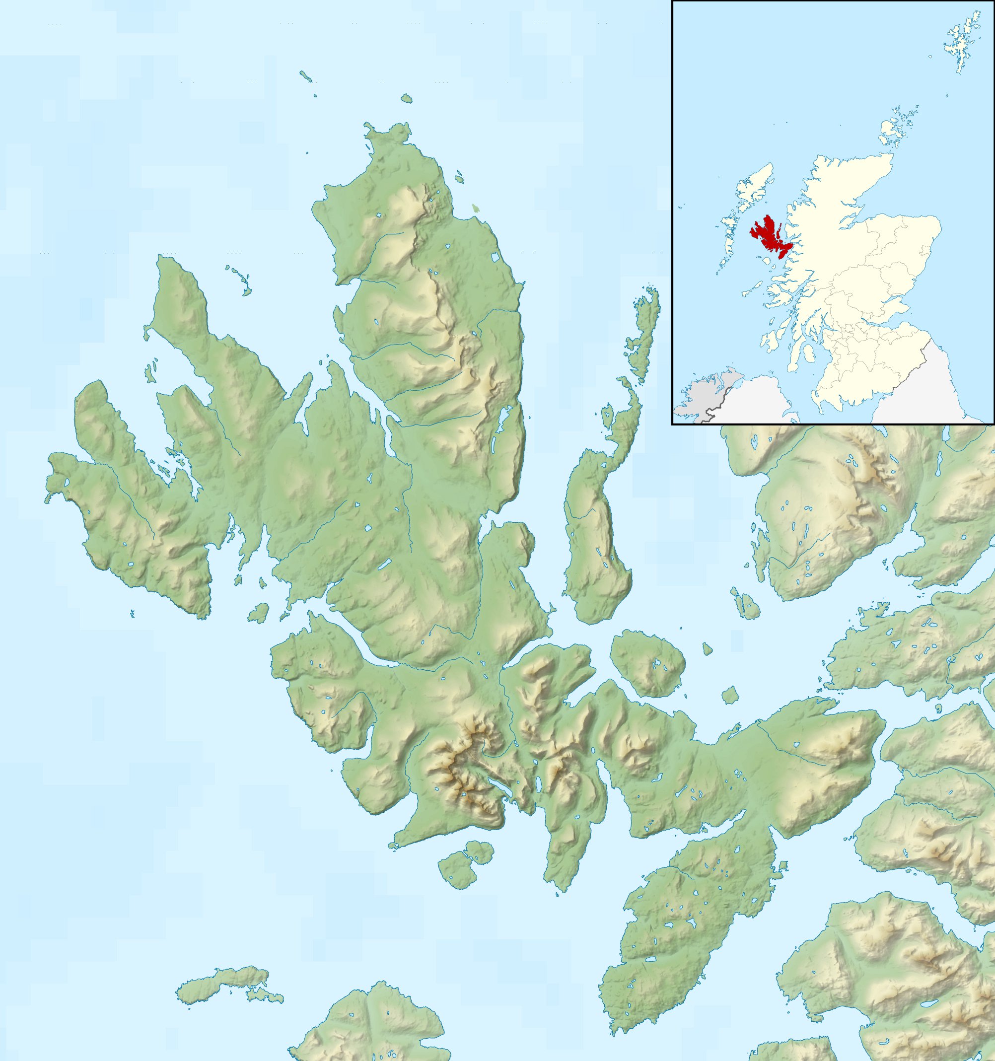
| Géolocalisation sur la carte : Île de Skye
Géolocalisation sur la carte : Écosse
Géolocalisation sur la carte : Royaume-Uni
| ||||
| modifier |
||||


На других языках
[en] The Storr
The Storr (Scottish Gaelic: An Stòr)[1] is a rocky hill on the Trotternish peninsula of the Isle of Skye in Scotland. The hill presents a steep rocky eastern face overlooking the Sound of Raasay, contrasting with gentler grassy slopes to the west.- [fr] The Storr
[it] The Storr
The Storr (in gaelico scozzese: An Stòr) è una montagna dell'isola scozzese di Skye (Ebridi Interne), situata nella penisola di Trotternish. Con un'altezza di 719 metri[1], rappresenta il punto più elevato di questa penisola[1].Текст в блоке "Читать" взят с сайта "Википедия" и доступен по лицензии Creative Commons Attribution-ShareAlike; в отдельных случаях могут действовать дополнительные условия.
Другой контент может иметь иную лицензию. Перед использованием материалов сайта WikiSort.org внимательно изучите правила лицензирования конкретных элементов наполнения сайта.
Другой контент может иметь иную лицензию. Перед использованием материалов сайта WikiSort.org внимательно изучите правила лицензирования конкретных элементов наполнения сайта.
2019-2026
WikiSort.org - проект по пересортировке и дополнению контента Википедии
WikiSort.org - проект по пересортировке и дополнению контента Википедии