geo.wikisort.org - Montagne
Le tepuy Maringma est un des tepuys du Guyana. Il est situé à 15 km à l'est du mont Roraima.
Cet article est une ébauche concernant la montagne et le Guyana.
Vous pouvez partager vos connaissances en l’améliorant (comment ?) selon les recommandations des projets correspondants.
| Tepuy Maringma | ||
 |
||
| Géographie | ||
|---|---|---|
| Altitude | 2 088 m | |
| Massif | Sierra de Pacaraima (plateau des Guyanes) |
|
| Coordonnées | 5° 13′ 01″ nord, 60° 35′ 06″ ouest | |
| Administration | ||
| Pays | ||
| Région | Cuyuni-Mazaruni | |
| Géologie | ||
| Type | Tepuy | |
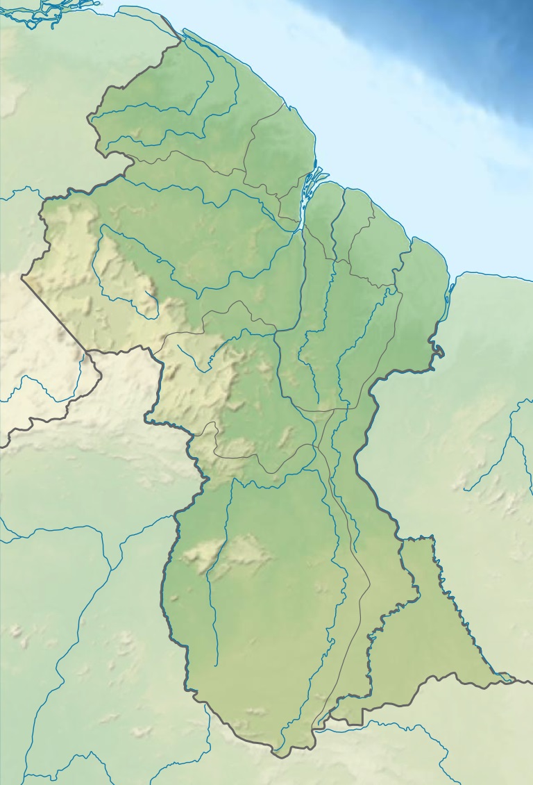
| Géolocalisation sur la carte : Guyana
| ||
| modifier |
||
Voir aussi
- Tepuy
 Portail de la montagne
  Portail du Guyana
На других языках
[en] Maringma-tepui
Maringma-tepui, also written Mount Maringma and historically known as Mount Marima,[2] is a small tepui of the Pacaraima Mountains in Cuyuni-Mazaruni, Guyana. It is known as Malaima-tepui in the local Akawaio language.[1] Most published sources place it just inside Guyanese territory, very close to the border with Brazil, and around 17 kilometres (11 mi) east of Roraima-tepui.[1][3][4][5][6][7] However, the mountain remains the subject of considerable toponymic confusion and its name has been applied to at least one other nearby peak.[nb a]- [fr] Tepuy Maringma
Текст в блоке "Читать" взят с сайта "Википедия" и доступен по лицензии Creative Commons Attribution-ShareAlike; в отдельных случаях могут действовать дополнительные условия.
Другой контент может иметь иную лицензию. Перед использованием материалов сайта WikiSort.org внимательно изучите правила лицензирования конкретных элементов наполнения сайта.
Другой контент может иметь иную лицензию. Перед использованием материалов сайта WikiSort.org внимательно изучите правила лицензирования конкретных элементов наполнения сайта.
2019-2026
WikiSort.org - проект по пересортировке и дополнению контента Википедии
WikiSort.org - проект по пересортировке и дополнению контента Википедии