geo.wikisort.org - Montagne
Le Sustenhorn est un sommet des Alpes uranaises, en Suisse. Il culmine à 3 502 m d'altitude.
| Sustenhorn | |

| |
| Géographie | |
|---|---|
| Altitude | 3 502 m[1] |
| Massif | Alpes uranaises (Alpes) |
| Coordonnées | 46° 41′ 56″ nord, 8° 27′ 18″ est[1] |
| Administration | |
| Pays | |
| Cantons | Berne Uri |
| Arrondissement | Interlaken-Oberhasli |
| Géologie | |
| Roches | Roches métamorphiques |
| modifier |
|
Géographie
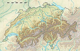
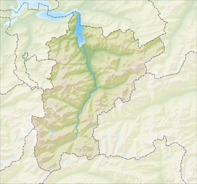
Le Sustenhorn est situé entre les cantons de Berne et d'Uri, au sud du col du Susten.
Notes et références
- Visualisation sur Swisstopo.
- Portail de la montagne
- Portail de la géographie de la Suisse
- Portail des Alpes
- Portail de la Suisse centrale
- Portail de l’Espace Mittelland
На других языках
[de] Sustenhorn
Das Sustenhorn ist ein Berg der Urner Alpen in der Schweiz, südlich des Sustenpasses, auf einer Höhe von 3503 m ü. M. Es liegt auf den Gemeindegebieten von Göschenen im Osten und Gadmen im Westen. Zusammen mit dem westlichen Nachbarberg, dem Gwächtenhorn (3420 m ü. M.), bildet die Südostflanke einen Kessel, in dem der Steingletscher liegt.[en] Sustenhorn
The Sustenhorn is a 3,502-metre-high (11,490 ft) mountain in the Uri Alps, located on the border between the cantons of Bern and Uri. It overlook Susten Pass from the south.- [fr] Sustenhorn
[it] Sustenhorn
Il Sustenhorn (3.503 m s.l.m.) è una montagna delle Alpi Bernesi (sottosezione Alpi Urane).Текст в блоке "Читать" взят с сайта "Википедия" и доступен по лицензии Creative Commons Attribution-ShareAlike; в отдельных случаях могут действовать дополнительные условия.
Другой контент может иметь иную лицензию. Перед использованием материалов сайта WikiSort.org внимательно изучите правила лицензирования конкретных элементов наполнения сайта.
Другой контент может иметь иную лицензию. Перед использованием материалов сайта WikiSort.org внимательно изучите правила лицензирования конкретных элементов наполнения сайта.
2019-2025
WikiSort.org - проект по пересортировке и дополнению контента Википедии
WikiSort.org - проект по пересортировке и дополнению контента Википедии


