geo.wikisort.org - Montagne
Stanage Edge est un escarpement de grès à gros grains britannique relevant du parc national de Peak District, à la frontière entre le Derbyshire et le Yorkshire du Sud, en Angleterre. Son point culminant est le High Neb, qui atteint 458 mètres d'altitude.
Cet article est une ébauche concernant la montagne et l’Angleterre.
Vous pouvez partager vos connaissances en l’améliorant (comment ?) selon les recommandations des projets correspondants.
| Stanage Edge | |
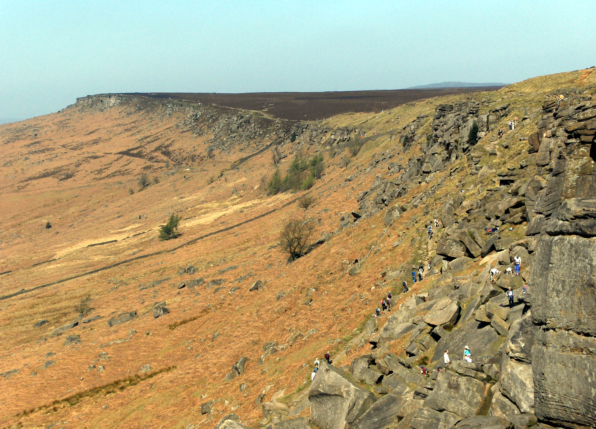 Vue de l'escarpement | |
| Géographie | |
|---|---|
| Altitude | 458 m, High Neb |
| Massif | Peak District (Pennines) |
| Administration | |
| Pays | |
| Nation constitutive | |
| Comté non métropolitain Comté métropolitain |
Derbyshire Yorkshire du Sud |
| modifier |
|
Liens externes
 Portail de la montagne
  Portail de l’Angleterre
  Portail du Yorkshire
На других языках
[de] Stanage Edge
Stanage Edge, verkürzt auch Stanage (von englisch „Stone edge“, dt. „Steinkante“) ist ein Sandstein-Geländesteilabbruch im Peak-District-Nationalpark in Nordengland.[en] Stanage Edge
Stanage Edge, or simply Stanage (from "stone edge") is a gritstone escarpment in the Peak District, England, famous as a location for climbing. It lies a couple of miles to the north of Hathersage, and the northern part of the edge forms the border between the High Peak of Derbyshire and Sheffield in South Yorkshire. Its highest point is High Neb at 458 metres (1,503 ft) above sea level. Areas of Stanage were quarried in the past to produce grindstones, and some can still be seen on the hillside—carved, but never removed.- [fr] Stanage Edge
Текст в блоке "Читать" взят с сайта "Википедия" и доступен по лицензии Creative Commons Attribution-ShareAlike; в отдельных случаях могут действовать дополнительные условия.
Другой контент может иметь иную лицензию. Перед использованием материалов сайта WikiSort.org внимательно изучите правила лицензирования конкретных элементов наполнения сайта.
Другой контент может иметь иную лицензию. Перед использованием материалов сайта WikiSort.org внимательно изучите правила лицензирования конкретных элементов наполнения сайта.
2019-2025
WikiSort.org - проект по пересортировке и дополнению контента Википедии
WikiSort.org - проект по пересортировке и дополнению контента Википедии