geo.wikisort.org - Montagne
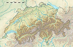
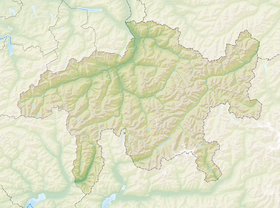
Le Piz Platta est un sommet des Alpes, à 3 392 m d'altitude, point culminant de la chaîne de l'Oberhalbstein, en Suisse (canton des Grisons).
| Piz Platta | |
 Le Piz Platta en été | |
| Géographie | |
|---|---|
| Altitude | 3 392 m[1] |
| Massif | Chaîne de l'Oberhalbstein (Alpes) |
| Coordonnées | 46° 29′ 13″ nord, 9° 33′ 42″ est[1] |
| Administration | |
| Pays | |
| Canton | Grisons |
| Région | Albula |
| modifier |
|
Notes et références
- Visualisation sur Swisstopo.
- Portail de la géographie de la Suisse
- Portail de la montagne
- Portail des Alpes
- Portail du canton des Grisons
На других языках
[de] Piz Platta
Der Piz Platta ist ein 3392 m ü. M. hoher Berg in den Oberhalbsteiner Alpen im Kanton Graubünden in der Schweiz und befindet sich südwestlich von Mulegns und nordöstlich von Avers. Es handelt sich um den Namensgeber der Piz Platta-Gruppe, der Platta-Alpen und der SAC-Sektion Piz Platta[1].[en] Piz Platta
Piz Platta is the highest peak in the Oberhalbstein Alps. It is 3392 metres high (Source: Landeskarte der Schweiz no.1256 - 1991), and is notable for its similarity in shape to the Matterhorn. Piz Platta is located between the localities of Avers and Mulegns, both in the Swiss canton of Graubünden.- [fr] Piz Platta
[it] Piz Platta
Il Piz Platta (3.392 m s.l.m.) è la montagna più alta delle Alpi del Platta nelle Alpi Retiche occidentali. Si trova nello svizzero Canton Grigioni.Текст в блоке "Читать" взят с сайта "Википедия" и доступен по лицензии Creative Commons Attribution-ShareAlike; в отдельных случаях могут действовать дополнительные условия.
Другой контент может иметь иную лицензию. Перед использованием материалов сайта WikiSort.org внимательно изучите правила лицензирования конкретных элементов наполнения сайта.
Другой контент может иметь иную лицензию. Перед использованием материалов сайта WikiSort.org внимательно изучите правила лицензирования конкретных элементов наполнения сайта.
2019-2025
WikiSort.org - проект по пересортировке и дополнению контента Википедии
WikiSort.org - проект по пересортировке и дополнению контента Википедии

