geo.wikisort.org - Montagne
Le mont Mulu, en malais Gunung Mulu, est un massif montagneux situé dans l'État du Sarawak en Malaisie. Il est situé dans le parc national du Gunung Mulu.
 Portail de la montagne
  Portail de la Malaisie
Cet article est une ébauche concernant la Malaisie et la montagne.
Vous pouvez partager vos connaissances en l’améliorant (comment ?) selon les recommandations des projets correspondants.
| Mont Mulu | |||

| |||
| Géographie | |||
|---|---|---|---|
| Altitude | 2 377 m | ||
| Massif | Bornéo | ||
| Coordonnées | 4° 02′ 45″ nord, 114° 55′ 48″ est | ||
| Administration | |||
| Pays | |||
| État | Sarawak | ||
| Division | Miri | ||
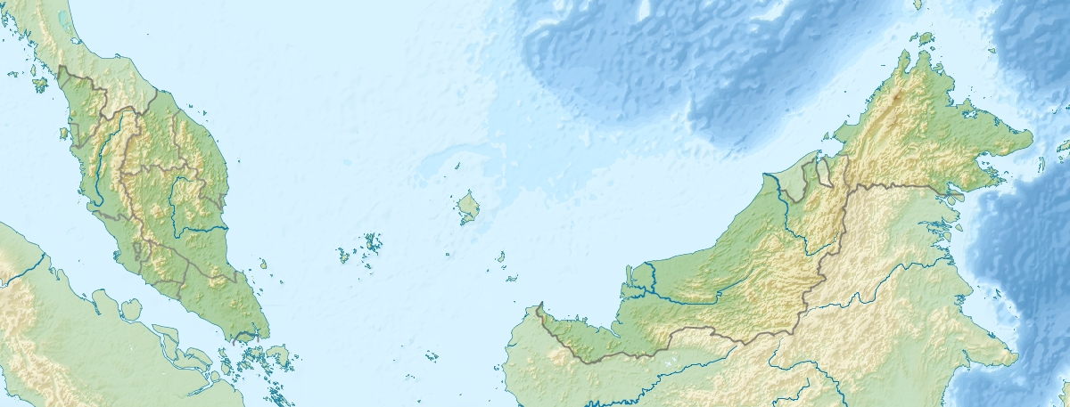
| Géolocalisation sur la carte : Malaisie
Géolocalisation sur la carte : Bornéo
| |||
| modifier |
|||

На других языках
[de] Gunung Mulu
Der Gunung Mulu ist mit 2377 m der zweithöchste Berg des Bundesstaats Sarawak auf Borneo in Malaysia.[en] Mount Mulu
Mount Mulu (Malay: Gunung Mulu) is a sandstone and shale mountain. At 2376 m, it is the second highest mountain in the state of Sarawak, after Mount Murud. It is located within the boundaries of Gunung Mulu National Park, which is named after it.- [fr] Mont Mulu
Текст в блоке "Читать" взят с сайта "Википедия" и доступен по лицензии Creative Commons Attribution-ShareAlike; в отдельных случаях могут действовать дополнительные условия.
Другой контент может иметь иную лицензию. Перед использованием материалов сайта WikiSort.org внимательно изучите правила лицензирования конкретных элементов наполнения сайта.
Другой контент может иметь иную лицензию. Перед использованием материалов сайта WikiSort.org внимательно изучите правила лицензирования конкретных элементов наполнения сайта.
2019-2026
WikiSort.org - проект по пересортировке и дополнению контента Википедии
WikiSort.org - проект по пересортировке и дополнению контента Википедии