geo.wikisort.org - Montagne
Le mont Iboundji est un sommet du Gabon situé dans le massif du Chaillu s'élévant à 972 mètres d'altitude. On trouve sur ses pentes plusieurs espèces endémiques, dont Werneria iboundji. On y trouve aussi le sanctuaire de la biodiversité gabonaise.
Cet article est une ébauche concernant la montagne et le Gabon.
Vous pouvez partager vos connaissances en l’améliorant (comment ?) selon les recommandations des projets correspondants.
| Mont Iboundji | ||
 |
||
| Géographie | ||
|---|---|---|
| Altitude | 972 m[1] | |
| Massif | Massif du Chaillu | |
| Coordonnées | 1° 09′ 25″ sud, 11° 48′ 00″ est[1] | |
| Administration | ||
| Pays | ||
| Province | Ogooué-Lolo | |
| Département | Offoué-Onoye | |
| Géologie | ||
| Type | Mesa | |
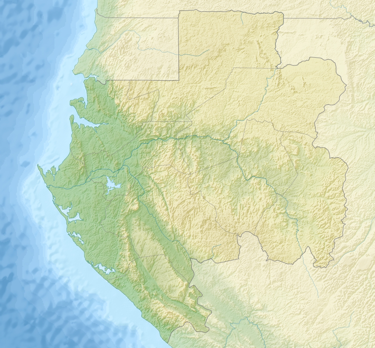
| Géolocalisation sur la carte : Gabon
| ||
| modifier |
||
Notes et références
- (en) Mont Iboundji, Gabon, peakbagger.com
 Portail de la montagne
  Portail du Gabon
На других языках
[de] Mont Iboundji
Der Mont Iboundji ist ein Gipfel in Gabun mit einer Höhe von knapp unter 1000 Metern[1]. Nach manchen Angaben ist der Berg die höchste Erhebung des Landes mit 1575 m[2]. Diese Daten sind jedoch nicht SRTM-unterstützt. Andere Quellen geben den Mont Bengoué als den höchstgelegenen Gipfel in Gabun an.[3][en] Mont Iboundji
Mont Iboundji is a peak located in Gabon. Claims that it is the highest point of the country, with an altitude of 1,575 metres (5,167 ft),[1] are neither supported by SRTM data nor empirically.[2]- [fr] Mont Iboundji
Текст в блоке "Читать" взят с сайта "Википедия" и доступен по лицензии Creative Commons Attribution-ShareAlike; в отдельных случаях могут действовать дополнительные условия.
Другой контент может иметь иную лицензию. Перед использованием материалов сайта WikiSort.org внимательно изучите правила лицензирования конкретных элементов наполнения сайта.
Другой контент может иметь иную лицензию. Перед использованием материалов сайта WikiSort.org внимательно изучите правила лицензирования конкретных элементов наполнения сайта.
2019-2026
WikiSort.org - проект по пересортировке и дополнению контента Википедии
WikiSort.org - проект по пересортировке и дополнению контента Википедии