geo.wikisort.org - Montagne
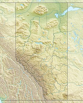
Le mont Blakiston (anglais : Mount Blakiston) est la plus haute montagne du parc national des Lacs-Waterton. Le sommet, situé dans le chaînon Clark, a été nommé par Thomas Blakiston d'après lui-même lors de l'expédition Palliser en 1858[2].
| Mont Blakiston | |
 Mont Blakiston | |
| Géographie | |
|---|---|
| Altitude | 2 904 m[1] |
| Massif | Chaînon Clark (Rocheuses canadiennes) |
| Coordonnées | 49° 05′ 39″ nord, 114° 02′ 06″ ouest |
| Administration | |
| Pays | |
| Province | Alberta |
| Région | N°3 |
| modifier |
|
Notes et références
- « Carte », sur Parcs Canada (consulté le )
- « Blakiston, Mount », sur Friends of Geographical Names of Alberta (consulté le )
Liens externes
- Ressources relatives à la géographie :
- Portail de l’Alberta
- Portail de la montagne
На других языках
[en] Mount Blakiston
Mount Blakiston is a mountain in the southwestern corner of Alberta, Canada and the highest point within Waterton Lakes National Park. The mountain is situated in the Clark Range, north of Lineham Creek and south of Blakiston Creek. Blakiston's closest neighbours include Mount Hawkins 2,685 m (8,809 ft) directly to the west along a connecting ridge and Mount Lineham 2,728 m (8,950 ft) to the south.- [fr] Mont Blakiston
Текст в блоке "Читать" взят с сайта "Википедия" и доступен по лицензии Creative Commons Attribution-ShareAlike; в отдельных случаях могут действовать дополнительные условия.
Другой контент может иметь иную лицензию. Перед использованием материалов сайта WikiSort.org внимательно изучите правила лицензирования конкретных элементов наполнения сайта.
Другой контент может иметь иную лицензию. Перед использованием материалов сайта WikiSort.org внимательно изучите правила лицензирования конкретных элементов наполнения сайта.
2019-2025
WikiSort.org - проект по пересортировке и дополнению контента Википедии
WikiSort.org - проект по пересортировке и дополнению контента Википедии

