geo.wikisort.org - Montagne
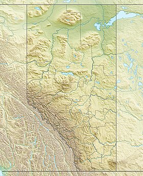
Le mont Bess est un sommet des Rocheuses canadiennes situé sur la frontière entre l'Alberta et la Colombie-Britannique.
| Mont Bess | |
 |
|
| Géographie | |
|---|---|
| Altitude | 3 203 m |
| Massif | Rocheuses canadiennes |
| Coordonnées | 53° 20′ 55″ nord, 119° 22′ 39″ ouest |
| Administration | |
| Pays | |
| Provinces | Colombie-Britannique Alberta |
| District régional Région |
Fraser-Fort George N°15 |
| Ascension | |
| Première | 1911 par J. Norman Collie, A.L. Mumm et J. Yates |
| modifier |
|
Il a été nommé en 1910 par John Norman Collie, d'après Bessie Gunn, qui accompagnait l'expédition.
Liens externes
- Ressources relatives à la géographie :
- Portail de la montagne
- Portail de la Colombie-Britannique
- Portail de l’Alberta
На других языках
[en] Mount Bess
Mount Bess is located on the border of Alberta and British Columbia.[4] It is the 83rd highest peak in Alberta. It was named in 1910 by J. Norman Collie after Bessie Gunn, who accompanied Collie's expedition.[1][2][5][6]- [fr] Mont Bess
Текст в блоке "Читать" взят с сайта "Википедия" и доступен по лицензии Creative Commons Attribution-ShareAlike; в отдельных случаях могут действовать дополнительные условия.
Другой контент может иметь иную лицензию. Перед использованием материалов сайта WikiSort.org внимательно изучите правила лицензирования конкретных элементов наполнения сайта.
Другой контент может иметь иную лицензию. Перед использованием материалов сайта WikiSort.org внимательно изучите правила лицензирования конкретных элементов наполнения сайта.
2019-2025
WikiSort.org - проект по пересортировке и дополнению контента Википедии
WikiSort.org - проект по пересортировке и дополнению контента Википедии


