geo.wikisort.org - Montagne
Jerimoth Hill est un sommet situé dans la ville de Foster, dans le comté de Providence, au Rhode Island, aux États-Unis.
Cet article est une ébauche concernant la montagne et le Rhode Island.
Vous pouvez partager vos connaissances en l’améliorant (comment ?) selon les recommandations des projets correspondants.
| Jerimoth Hill | |||
 Vue de Jerimoth Hill. | |||
| Géographie | |||
|---|---|---|---|
| Altitude | 247 m[1] | ||
| Coordonnées | 41° 50′ 58″ nord, 71° 46′ 43″ ouest[1] | ||
| Administration | |||
| Pays | |||
| État | Rhode Island | ||
| Comté | Providence | ||
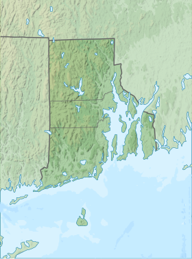
| Géolocalisation sur la carte : Rhode Island
Géolocalisation sur la carte : États-Unis
| |||
| modifier |
|||

Avec seulement 247 mètres d'altitude, c'est pourtant le point culminant de l'État.

Notes et références
- Visualisation sur l'USGS.
Liens externes
- Ressources relatives à la géographie :
 Portail de la montagne
  Portail de Rhode Island
На других языках
[de] Jerimoth Hill
Der Jerimoth Hill ist der Name des höchsten natürlichen Punktes im US-Bundesstaat Rhode Island, mit einer Höhe von 247 m über dem Meeresspiegel. Jerimoth Hill liegt im Providence County im Ort Foster, nahe der Grenze zu Connecticut.[en] Jerimoth Hill
Jerimoth Hill (812 ft, 247 m) is the highest point in the U.S. state of Rhode Island. It is the lowest state highpoint in New England. Located in the town of Foster in the northwest of the state, the site is used as an observatory. It is also a popular destination for highpointers, and prior to 2005 was known for being difficult to access due to a local landowner who prohibited entry.- [fr] Jerimoth Hill
[ru] Джеримот-Хилл
Джеримот-Хилл (англ. Jerimoth Hill, Холм Иеримофа) — возвышенность, на котором расположена высшая точка штата Род-Айленд.Текст в блоке "Читать" взят с сайта "Википедия" и доступен по лицензии Creative Commons Attribution-ShareAlike; в отдельных случаях могут действовать дополнительные условия.
Другой контент может иметь иную лицензию. Перед использованием материалов сайта WikiSort.org внимательно изучите правила лицензирования конкретных элементов наполнения сайта.
Другой контент может иметь иную лицензию. Перед использованием материалов сайта WikiSort.org внимательно изучите правила лицензирования конкретных элементов наполнения сайта.
2019-2026
WikiSort.org - проект по пересортировке и дополнению контента Википедии
WikiSort.org - проект по пересортировке и дополнению контента Википедии