geo.wikisort.org - Montagne
Haruj (arabe : هروج) est un champ volcanique qui s'étend sur 45 000 km2 dans le centre de la Libye. Il contient environ 150 volcans, dont de nombreux cônes de scories basaltiques et environ 30 petits volcans boucliers, avec des cratères et coulées de lave. Une étendue noire monte sur le sable entourant à environ 800 mètres et est couronnée par une série de volcans, le Qarat-al-Sab'ah, avec des altitudes atteignant 1 200 mètres.
 Portail du volcanisme
  Portail de la Libye
Cet article est une ébauche concernant le volcanisme et la Libye.
Vous pouvez partager vos connaissances en l’améliorant (comment ?) selon les recommandations des projets correspondants.
| Haruj | ||
 Vue satellite du champ volcanique de Haruj. | ||
| Géographie | ||
|---|---|---|
| Altitude | 1 200 m | |
| Coordonnées | 27° 03′ nord, 17° 30′ est | |
| Administration | ||
| Pays | ||
| Shabiyah | Al Djoufrah | |
| Géologie | ||
| Roches | Basalte | |
| Type | Volcan de rift | |
| Activité | Éteint | |
| Dernière éruption | Inconnue | |
| Code GVP | 225007 | |
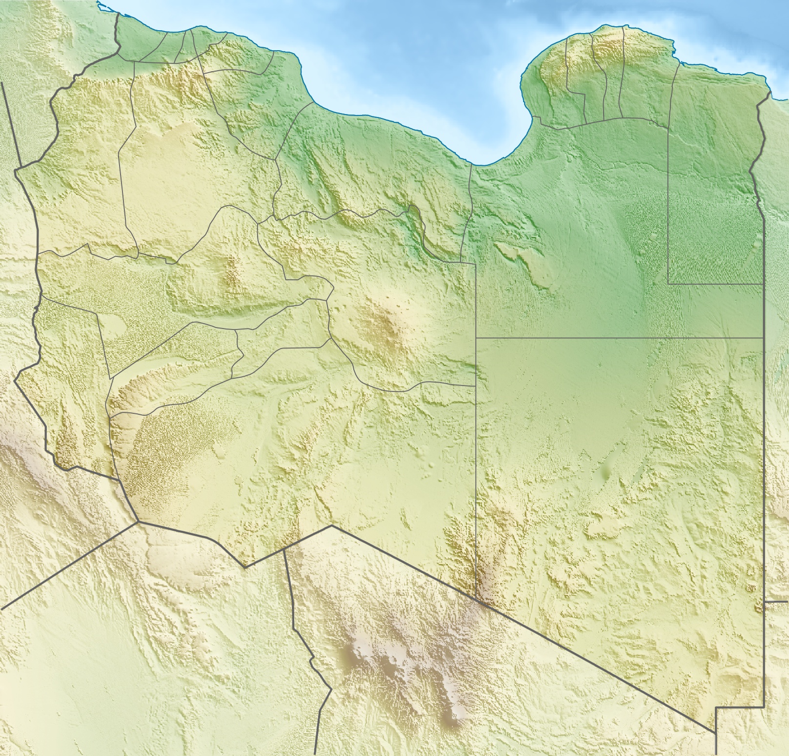
| Géolocalisation sur la carte : Libye
| ||
| modifier |
||
На других языках
[de] Charudsch
Der Charudsch oder Charudsch al-Aswad (arabisch خروج الأسود Charūdsch al-Aswad, DMG Ḫarūǧ al-Aswad ‚der schwarze Ausfluss‘; gemäß englischer Transkription Haruj) ist ein bis 1200 m hohes libysches Gebirge und Basaltplateau und liegt am Rande der Sahara.[en] Haruj
Haruj (Arabic: هروج, also known as Haroudj[1]) is a large volcanic field spread across 42,000–45,000 km2 (16,000–17,000 sq mi) in central Libya. It is one of several volcanic fields in Libya along with Tibesti, and its origin has been attributed to the effects of geologic lineaments in the crust.- [fr] Haruj
Текст в блоке "Читать" взят с сайта "Википедия" и доступен по лицензии Creative Commons Attribution-ShareAlike; в отдельных случаях могут действовать дополнительные условия.
Другой контент может иметь иную лицензию. Перед использованием материалов сайта WikiSort.org внимательно изучите правила лицензирования конкретных элементов наполнения сайта.
Другой контент может иметь иную лицензию. Перед использованием материалов сайта WikiSort.org внимательно изучите правила лицензирования конкретных элементов наполнения сайта.
2019-2026
WikiSort.org - проект по пересортировке и дополнению контента Википедии
WikiSort.org - проект по пересортировке и дополнению контента Википедии