geo.wikisort.org - Montagne
Gurû Sikhara, littéralement « pic du guru », d'après Dattātreya, est le point culminant de la chaîne des Ârâvalli avec une altitude de 1 722 mètres, au Rajasthan. Il est situé à 15 kilomètres au nord de Mount Âbû.
 Portail de l’Inde
  Portail de la montagne
Cet article est une ébauche concernant la montagne et l’Inde.
Vous pouvez partager vos connaissances en l’améliorant (comment ?) selon les recommandations des projets correspondants.
| Gurû Sikhara | |||
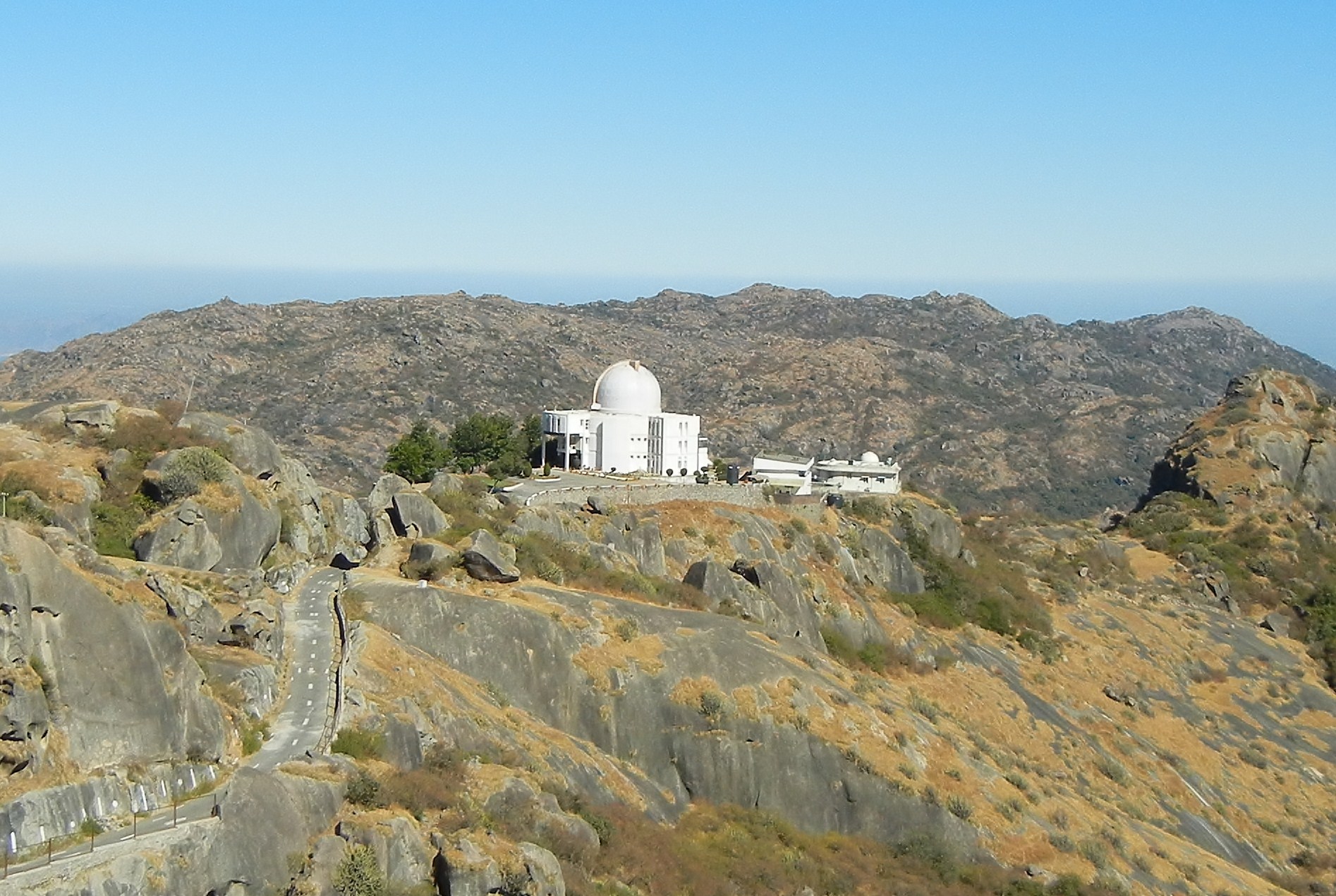 Vue de l'observatoire infrarouge du mont Abu depuis le sommet de Gurû Sikhara. | |||
| Géographie | |||
|---|---|---|---|
| Altitude | 1 722 m | ||
| Massif | Ârâvalli | ||
| Coordonnées | 24° 38′ 57″ nord, 72° 46′ 32″ est | ||
| Administration | |||
| Pays | |||
| État | Rajasthan | ||
| District | Sirohi | ||
| Géolocalisation sur la carte : Rajasthan
Géolocalisation sur la carte : Inde
| |||
| modifier |
|||


На других языках
[de] Guru Shikhar
Der zum Aravalligebirge gehörende Guru Shikhar ist mit seiner Höhe von 1722 m der höchste Berg im indischen Bundesstaat Rajasthan.[en] Guru Shikhar
Guru Shikhar, a peak in the Arbuda Mountains of Sirohi district in Rajasthan, is the highest point of the Aravalli Range and Rajasthan. It rises to an elevation of 1,722 metres (5,650 ft).[2] It is 75 km from Sirohi city, the district headquarter and 15 km from Mount Abu and a road from there leads almost to the top of the mountain.[3] It is named Guru-Shikhar or 'the peak of the guru' after Dattatreya, an incarnation of Vishnu, andof a cave at the summit contains a temple dedicated to him, plus one edicated his mother, Anasuya, wife of sage Atri nearby.[4]- [fr] Gurû Sikhara
Текст в блоке "Читать" взят с сайта "Википедия" и доступен по лицензии Creative Commons Attribution-ShareAlike; в отдельных случаях могут действовать дополнительные условия.
Другой контент может иметь иную лицензию. Перед использованием материалов сайта WikiSort.org внимательно изучите правила лицензирования конкретных элементов наполнения сайта.
Другой контент может иметь иную лицензию. Перед использованием материалов сайта WikiSort.org внимательно изучите правила лицензирования конкретных элементов наполнения сайта.
2019-2026
WikiSort.org - проект по пересортировке и дополнению контента Википедии
WikiSort.org - проект по пересортировке и дополнению контента Википедии