geo.wikisort.org - Montagne
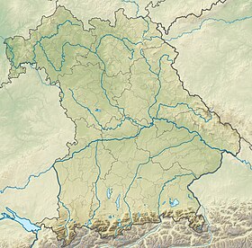
Le Gundkopf est une montagne qui s'élève à 2 063 m d'altitude dans les Alpes d'Allgäu en Bavière.
| Gundkopf | |
 Vue du Gundkopf (pointe visible en arrière-plan). | |
| Géographie | |
|---|---|
| Altitude | 2 063 m[1] |
| Massif | Alpes d'Allgäu (Alpes) |
| Coordonnées | 47° 25′ 10″ nord, 10° 19′ 59″ est[1] |
| Administration | |
| Pays | |
| Land | Bavière |
| District | Souabe |
| modifier |
|
Notes et références
- (de) Cet article est partiellement ou en totalité issu de l’article de Wikipédia en allemand intitulé « Gundkopf » (voir la liste des auteurs).
- Gundkopf sur Bayerische Vermessungsverwaltung.
- Portail de la montagne
- Portail des Alpes
- Portail de la Bavière
На других языках
[de] Gundkopf
Der Gundkopf ist ein 2062 m hoher Felskopf in dem Bergzug, der vom Nebelhorn zum Rubihorn zieht. Er liegt südwestlich vom Nebelhorn. Am Gundkopf zweigt nach Norden der Kamm ab, der das Illertal östlich begrenzt und im Imberger Horn bei Hindelang endet. Dieser Kamm trägt als wichtigsten Gipfel den Entschenkopf.[en] Gundkopf
Gundkopf is a mountain of Bavaria, Germany.- [fr] Gundkopf
Текст в блоке "Читать" взят с сайта "Википедия" и доступен по лицензии Creative Commons Attribution-ShareAlike; в отдельных случаях могут действовать дополнительные условия.
Другой контент может иметь иную лицензию. Перед использованием материалов сайта WikiSort.org внимательно изучите правила лицензирования конкретных элементов наполнения сайта.
Другой контент может иметь иную лицензию. Перед использованием материалов сайта WikiSort.org внимательно изучите правила лицензирования конкретных элементов наполнения сайта.
2019-2025
WikiSort.org - проект по пересортировке и дополнению контента Википедии
WikiSort.org - проект по пересортировке и дополнению контента Википедии

