geo.wikisort.org - Montagne
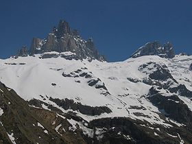
Le Gross Spannort (ou Grand Spannort, littéralement « Lieu du dos du pied ») est un sommet du massif des Alpes uranaises à 3 198 m d'altitude, dans le canton d'Uri, en Suisse.
| Gross Spannort | |
 Gross Spannort et Chli Spannort | |
| Géographie | |
|---|---|
| Altitude | 3 198 m[1] |
| Massif | Alpes uranaises (Alpes) |
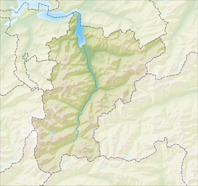
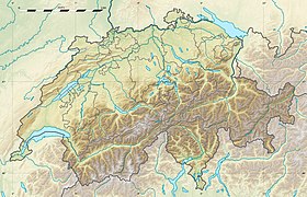
| Coordonnées | 46° 47′ 12″ nord, 8° 31′ 29″ est[1] |
| Administration | |
| Pays | |
| Canton | Uri |
| Ascension | |
| Première | 1867 par John Sowerby, Waldemar Mansell, F.E. Thomphson et Robert Spankie |
| Voie la plus facile | Versant Sud |
| modifier |
|
Notes et références
- Visualisation sur Swisstopo.
- Portail de la géographie de la Suisse
- Portail de la montagne
- Portail des Alpes
- Portail de la Suisse centrale
На других языках
[de] Gross Spannort
Gross Spannort (3198 m ü. M.) ist ein Berg in den Urner Alpen.[en] Gross Spannort
The Gross Spannort is a mountain of the Uri Alps, located between Engelberg and Erstfeld in Central Switzerland. It is located within the canton of Uri, although its summit lies on the watershed between the Engelberger Aa and the main Reuss valley. The Gross Spannort is almost entirely surrounded by glaciers, the largest being the Glatt Firn. South-west of the Gross Spannort is the Chli Spannort ("little Spannort").- [fr] Gross Spannort
Текст в блоке "Читать" взят с сайта "Википедия" и доступен по лицензии Creative Commons Attribution-ShareAlike; в отдельных случаях могут действовать дополнительные условия.
Другой контент может иметь иную лицензию. Перед использованием материалов сайта WikiSort.org внимательно изучите правила лицензирования конкретных элементов наполнения сайта.
Другой контент может иметь иную лицензию. Перед использованием материалов сайта WikiSort.org внимательно изучите правила лицензирования конкретных элементов наполнения сайта.
2019-2025
WikiSort.org - проект по пересортировке и дополнению контента Википедии
WikiSort.org - проект по пересортировке и дополнению контента Википедии

