geo.wikisort.org - Montagne
Le Geisshorn est une montagne culminant à 2 366 m d'altitude à la frontière entre l'Allemagne et l'Autriche, dans les Alpes d'Allgäu.
Pour les articles homonymes, voir Geisshorn (homonymie).
Cet article est une ébauche concernant la montagne, la géographie de l'Allemagne et l’Autriche.
Vous pouvez partager vos connaissances en l’améliorant (comment ?) selon les recommandations des projets correspondants.
| Geisshorn | |||||

| |||||
| Géographie | |||||
|---|---|---|---|---|---|
| Altitude | 2 366 m[1],[2] | ||||
| Massif | Alpes d'Allgäu (Alpes) | ||||
| Coordonnées | 47° 17′ 16″ nord, 10° 10′ 31″ est[1],[2] | ||||
| Administration | |||||
| Pays | |||||
| Land allemand Land autrichien |
Bavière Vorarlberg |
||||
| District allemand District autrichien |
Souabe Bregenz |
||||
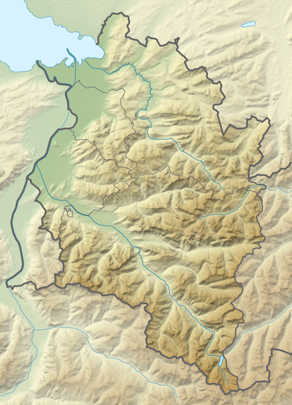
| Géolocalisation sur la carte : Allemagne
Géolocalisation sur la carte : Autriche
Géolocalisation sur la carte : Bavière
Géolocalisation sur la carte : Vorarlberg
| |||||
| modifier |
|||||


Notes et références
- (de) Cet article est partiellement ou en totalité issu de l’article de Wikipédia en allemand intitulé « Geißhorn » (voir la liste des auteurs).
- Geisshorn sur Bayerische Vermessungsverwaltung.
- Visualisation sur BEV.
 Portail de la montagne
  Portail des Alpes
  Portail de l'Autriche
  Portail de la Bavière
На других языках
[de] Geißhorn
Das Geißhorn (auch Walser Geißhorn) ist ein 2366 m ü. NHN[1] hoher Berg in den Allgäuer Alpen auf der deutsch-österreichischen Grenze.[en] Geißhorn
Geißhorn (2,366 metres/7,762 ft) is a mountain in the Allgäu Alps of Bavaria, Germany.- [fr] Geisshorn
Текст в блоке "Читать" взят с сайта "Википедия" и доступен по лицензии Creative Commons Attribution-ShareAlike; в отдельных случаях могут действовать дополнительные условия.
Другой контент может иметь иную лицензию. Перед использованием материалов сайта WikiSort.org внимательно изучите правила лицензирования конкретных элементов наполнения сайта.
Другой контент может иметь иную лицензию. Перед использованием материалов сайта WikiSort.org внимательно изучите правила лицензирования конкретных элементов наполнения сайта.
2019-2026
WikiSort.org - проект по пересортировке и дополнению контента Википедии
WikiSort.org - проект по пересортировке и дополнению контента Википедии