geo.wikisort.org - Montagne
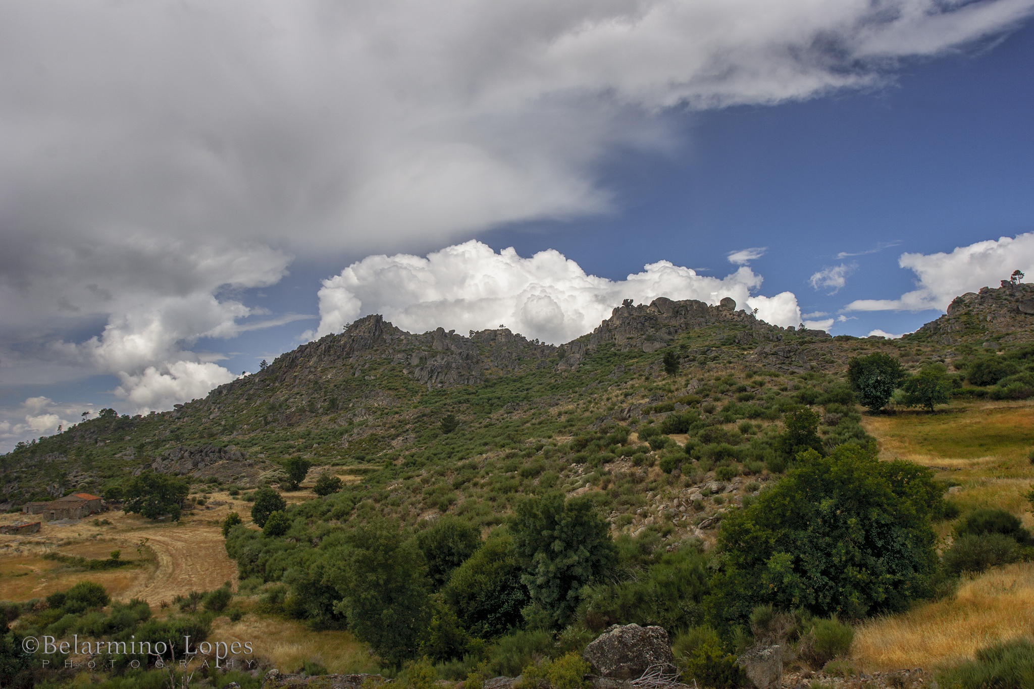
La serra da Gardunha est une montagne située au centre du Portugal.
 Portail du Portugal
  Portail de la montagne
Cet article est une ébauche concernant le Portugal et la montagne.
Vous pouvez partager vos connaissances en l’améliorant (comment ?) selon les recommandations des projets correspondants.
| Gardunha | |
 |
|
| Géographie | |
|---|---|
| Altitude | 1 223 m, Pirâmide |
| Longueur | 20 km |
| Largeur | 10 km |
| Administration | |
| Pays | |
| Région | Centre |
| District | Castelo Branco |
| modifier |
|
На других языках
[en] Gardunha
The Gardunha mountain range (Serra da Gardunha), so called by the Moors[citation needed] (Gardunha or Guardunha meaning refuge), is located in central Portugal, in Centro Region, beyond the Serra da Estrela range, giving way to an extensive plain called Beira Baixa Province. It was covered with vineyards in the time of King Denis, who reigned in the 13th and 14th centuries. But the sovereign decided to pull them up and replace them with chestnut trees all over the Alcambar valley. The valley became known as the King's groves. Unfortunately though, due to man's negligence, violent fires destroyed a significant number of trees, although some areas were reforested. Pirâmide (1,223m/4,013ft), is the highest point in Gardunha mountain range.- [fr] Gardunha
Текст в блоке "Читать" взят с сайта "Википедия" и доступен по лицензии Creative Commons Attribution-ShareAlike; в отдельных случаях могут действовать дополнительные условия.
Другой контент может иметь иную лицензию. Перед использованием материалов сайта WikiSort.org внимательно изучите правила лицензирования конкретных элементов наполнения сайта.
Другой контент может иметь иную лицензию. Перед использованием материалов сайта WikiSort.org внимательно изучите правила лицензирования конкретных элементов наполнения сайта.
2019-2026
WikiSort.org - проект по пересортировке и дополнению контента Википедии
WikiSort.org - проект по пересортировке и дополнению контента Википедии