geo.wikisort.org - Montagne
Le Càrn Eige, parfois Càrn Eighe, est une montagne du Royaume-Uni située en Écosse, dans les Highlands. Il est le plus haut sommet au nord du Great Glen avec 1 183 mètres d'altitude.

Cet article est une ébauche concernant l’Écosse et la montagne.
Vous pouvez partager vos connaissances en l’améliorant (comment ?) selon les recommandations des projets correspondants.
| Càrn Eige | ||||
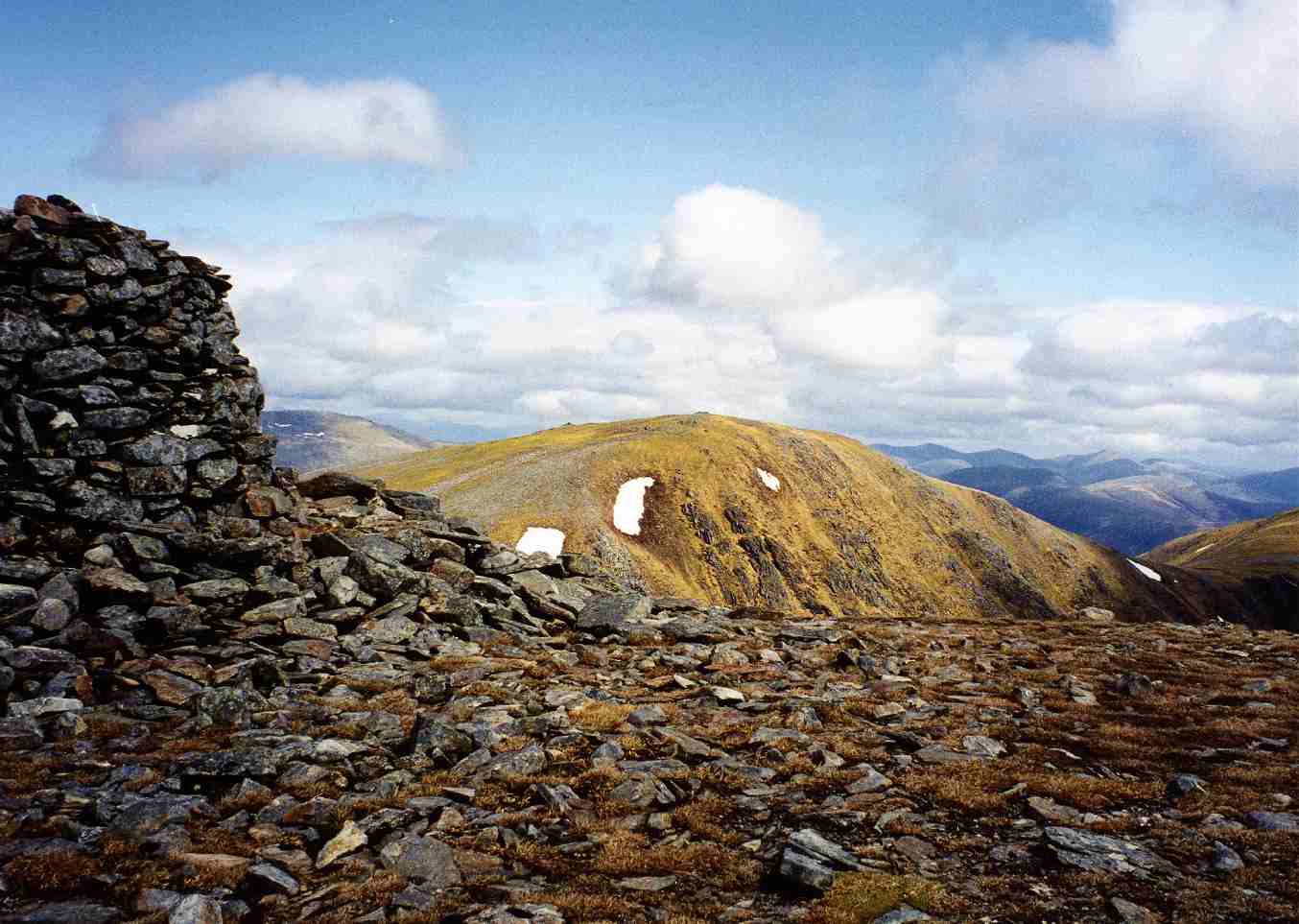 Càrn Eige vu depuis le cairn du Mam Sodhail. | ||||
| Géographie | ||||
|---|---|---|---|---|
| Altitude | 1 183 m[1] | |||
| Massif | Highlands | |||
| Coordonnées | 57° 17′ 16″ nord, 5° 06′ 54″ ouest[1] | |||
| Administration | ||||
| Pays | ||||
| Nation constitutive | ||||
| Council area | Highland | |||
| Géologie | ||||
| Type | Marilyn, Munro | |||
| Géolocalisation sur la carte : Royaume-Uni
Géolocalisation sur la carte : Écosse
Géolocalisation sur la carte : Highland
| ||||
| modifier |
||||


Notes et références
- Visualisation sur les cartes de l'Ordnance Survey.
Liens externes
- Ressource relative à la géographie :
 Portail de l’Écosse
  Portail de la montagne
На других языках
[de] Càrn Eighe
Der Càrn Eighe, manchmal auch als Càrn Eige bezeichnet, ist mit seiner Höhe von 1.183 m (3.881 ft) m der höchste Berg im nördlichen Schottland, nördlich des Great Glen. Er ist als Munro und Marilyn eingestuft. Sein gälischer Name kann in etwa mit Berg der Feile oder Berg der Scharte übersetzt werden.[1] Der Càrn Eighe liegt in der Council Area Highland auf der Grenze zwischen den Area Committees Inverness und Ross and Cromarty, im früheren Gebiet des Chisholm-Clans. Nördlich des Berges liegt Glen Cannich mit dem Loch Mullardoch, südlich Glen Affric mit dem Loch Affric.[en] Càrn Eige
Càrn Eige, sometimes spelt Càrn Eighe [citation needed], is a mountain in the north of Scotland. At an elevation of 1,183 metres (3,881 ft) above sea level, it is the highest mountain in Scotland north of the Great Glen, the twelfth-highest summit above sea level in the British Isles, and, in terms of relative height (topographic prominence), it is the second-tallest mountain in the British Isles after Ben Nevis (its "parent peak" for determination of topographic prominence).[2] The highpoint of the historic county of Ross and Cromarty, it is the twin summit of the massif, being mirrored by the 1,181-metre (3,875 ft) Mam Sodhail, to the south on the same ridge.[es] Càrn Eige
Càrn Eige, a veces escrito como Càrn Eighe (en gaélico escocés significa "Colina de lima" o "Colina de muesca", y se pronuncia [kʰaːrˠn ˈekʲə]), es la montaña más alta en Escocia septentrional (al norte del Great Glen) en el Reino Unido. Se encuentra en la council area de las Tierras Altas, en el límite entre las committee areas de Inverness y Ross and Cromarty, sobre lo que anteriormente eran tierras del Clan Chisholm.- [fr] Càrn Eige
Текст в блоке "Читать" взят с сайта "Википедия" и доступен по лицензии Creative Commons Attribution-ShareAlike; в отдельных случаях могут действовать дополнительные условия.
Другой контент может иметь иную лицензию. Перед использованием материалов сайта WikiSort.org внимательно изучите правила лицензирования конкретных элементов наполнения сайта.
Другой контент может иметь иную лицензию. Перед использованием материалов сайта WikiSort.org внимательно изучите правила лицензирования конкретных элементов наполнения сайта.
2019-2026
WikiSort.org - проект по пересортировке и дополнению контента Википедии
WikiSort.org - проект по пересортировке и дополнению контента Википедии