geo.wikisort.org - Montagne
Cleeve Hill, ou Cleeve Common, ou encore Cleeve Cloud, est un sommet du Royaume-Uni culminant à 330 mètres d'altitude dans le comté du Gloucestershire, dont il constitue le point culminant, en Angleterre. C'est également le plus haut sommet des Cotswolds.
Cet article est une ébauche concernant la montagne et l’Angleterre.
Vous pouvez partager vos connaissances en l’améliorant (comment ?) selon les recommandations des projets correspondants.
| Cleeve Hill | ||||
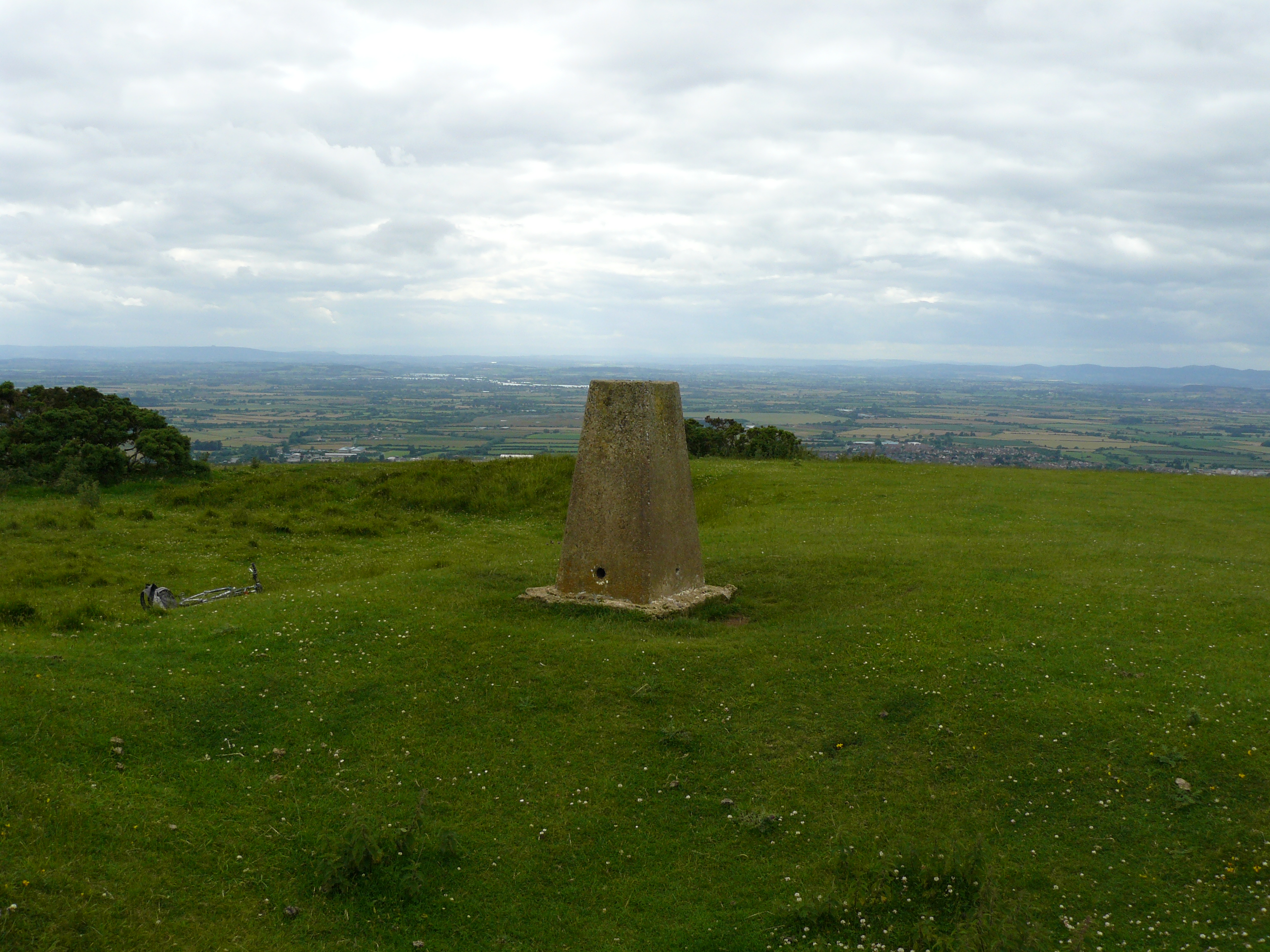 Vue de la borne géodésique près du sommet de Cleeve Hill. | ||||
| Géographie | ||||
|---|---|---|---|---|
| Altitude | 330 m[1] | |||
| Massif | Cotswolds | |||
| Coordonnées | 51° 55′ 13″ nord, 2° 00′ 22″ ouest[1],[2] | |||
| Administration | ||||
| Pays | ||||
| Nation constitutive | ||||
| Comté non métropolitain | Gloucestershire | |||
| Géologie | ||||
| Type | Marilyn | |||
| Géolocalisation sur la carte : Gloucestershire
Géolocalisation sur la carte : Angleterre
Géolocalisation sur la carte : Royaume-Uni
| ||||
| modifier |
||||


Annexes
Article connexe
- Géographie de l'Angleterre
Bibliographie
- (en) Jonny Muir, The UK's County Tops: 82 walks to reach the top of 91 historic counties, Cicerone Press Limited, coll. « Sports & Recreation », 2011 (ISBN 978-1-85284-629-9), pages 46-47.
Notes et références
- Visualisation sur les cartes de l'Ordnance Survey.
- (en) Cleeve Common, United Kingdom, peakbagger.com.
 Portail de la montagne
  Portail de l’Angleterre
На других языках
[en] Cleeve Hill, Gloucestershire
Cleeve Hill (also known as Cleeve Cloud) is the highest point both of the Cotswolds hill range and of the county of Gloucestershire, at 330 m (1,080 ft).[1][2] It is located on Cleeve Common which is a Site of Special Scientific Interest (SSSI) looked after by a small charity called Cleeve Common Trust (formally Cleeve Common Board of Conservators). It commands a clear view to the west, over Cheltenham and the racecourse, over the River Severn and into Wales; and to the north over Winchcombe. It is a conspicuous outcrop on the edge of the limestone escarpment, (sometimes called the "Cotswold Edge"). It is crossed by the Cotswold Way footpath.- [fr] Cleeve Hill
Текст в блоке "Читать" взят с сайта "Википедия" и доступен по лицензии Creative Commons Attribution-ShareAlike; в отдельных случаях могут действовать дополнительные условия.
Другой контент может иметь иную лицензию. Перед использованием материалов сайта WikiSort.org внимательно изучите правила лицензирования конкретных элементов наполнения сайта.
Другой контент может иметь иную лицензию. Перед использованием материалов сайта WikiSort.org внимательно изучите правила лицензирования конкретных элементов наполнения сайта.
2019-2026
WikiSort.org - проект по пересортировке и дополнению контента Википедии
WikiSort.org - проект по пересортировке и дополнению контента Википедии