geo.wikisort.org - Montañas
Purupuruni es un conjunto de domos de lava en el sur de Perú, a una altura de 5315 msnm. Está situado en la distrito de Ticaco, provincia de Tarata, región de Tacna. Purupuruni se encuentra al sureste de Pisacani.[1][2]
| Purupuruni | ||
|---|---|---|
| Localización geográfica | ||
| Cordillera | Andes | |
| Sierra | Cordillera del Barroso | |
| Coordenadas | 17°18′33″S 69°54′53″O | |
| Localización administrativa | ||
| País |
| |
| División | Tacna | |
| Características generales | ||
| Altitud | 5310 msnm | |
| Mapa de localización | ||
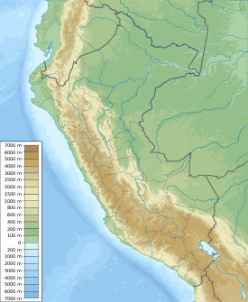 Purupuruni | ||
 Purupuruni | ||
Referencias
- Cerro Purupuruni, getamap.net
- Principales volcanes activos en Perú Archivado el 25 de marzo de 2018 en Wayback Machine., igp.gob.pe
На других языках
[en] Purupuruni
Purupuruni is a group of lava domes in southern Peru and a correlative geological formation. They are among the many volcanoes that exist in Peru and whose activity has been associated with the subduction of the Nazca Plate beneath the South America Plate. Purupuruni is associated with a geothermal field and a caldera. Volcanic activity occurred during the Pleistocene 53,000 ± 8,000 years ago but also during the Holocene about 5,300 ± 1,100 years ago; today the volcano is considered to be a low hazard volcano but is being monitored nevertheless.- [es] Purupuruni
Текст в блоке "Читать" взят с сайта "Википедия" и доступен по лицензии Creative Commons Attribution-ShareAlike; в отдельных случаях могут действовать дополнительные условия.
Другой контент может иметь иную лицензию. Перед использованием материалов сайта WikiSort.org внимательно изучите правила лицензирования конкретных элементов наполнения сайта.
Другой контент может иметь иную лицензию. Перед использованием материалов сайта WikiSort.org внимательно изучите правила лицензирования конкретных элементов наполнения сайта.
2019-2026
WikiSort.org - проект по пересортировке и дополнению контента Википедии
WikiSort.org - проект по пересортировке и дополнению контента Википедии