geo.wikisort.org - Mountains
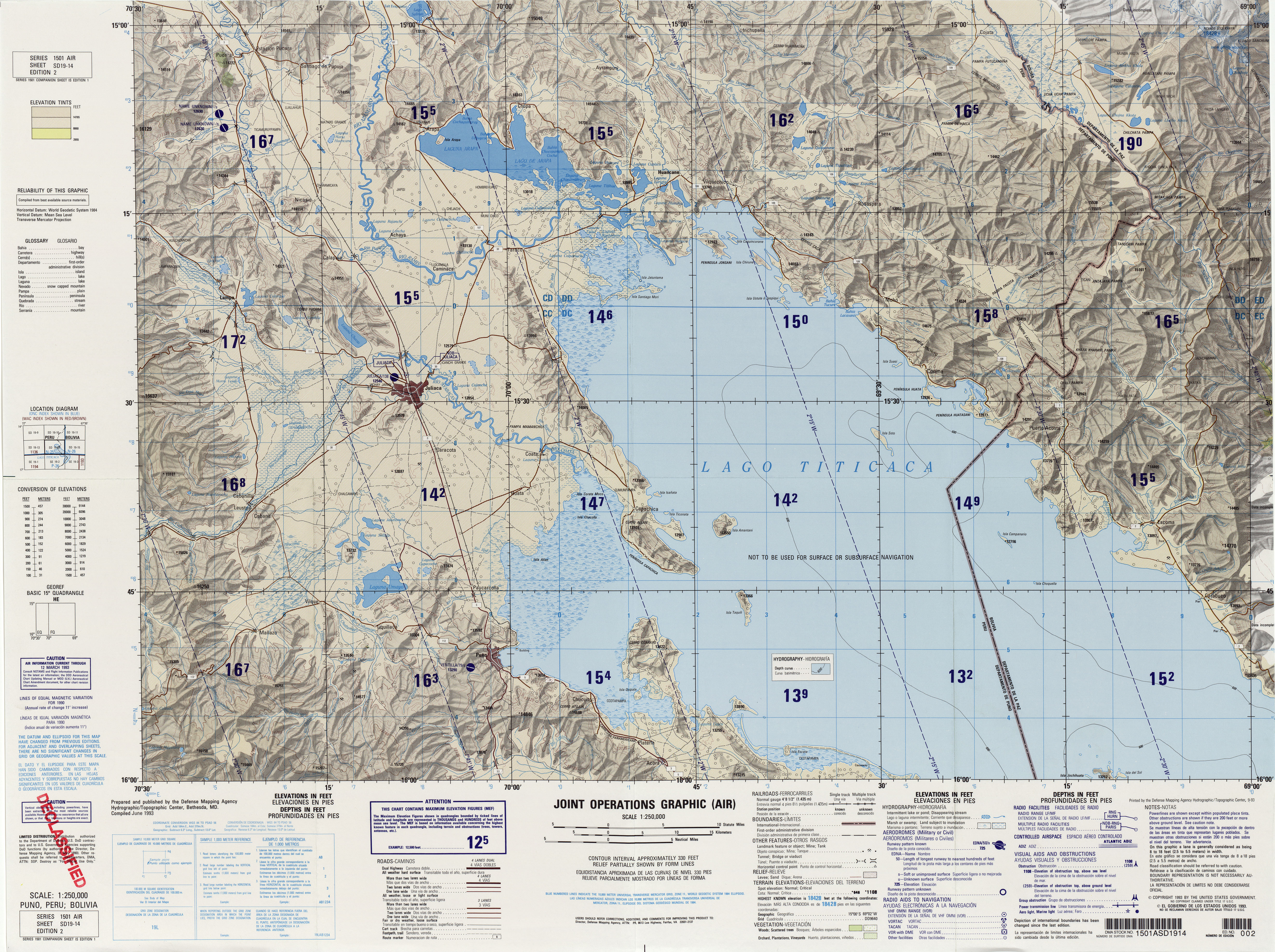
Yuraq Apachita (Quechua yuraq white, Aymara apachita the place of transit of an important pass in the principal routes of the Andes; name for a stone cairn in the Andes, a little pile of rocks built along the trail in the high mountains,[2][3] Hispanicized spelling Yuracapacheta) is a mountain in the Andes of Peru, about 4,423.9 metres (14,514 ft) high. It is situated in the Puno Region, Lampa Province, Pucará District, southwest of Pucará.[4]
| Yuraq Apachita | |
|---|---|
 Yuraq Apachita Peru | |
| Highest point | |
| Elevation | 4,423.9 m (14,514 ft)[1] |
| Coordinates | 15°4′4″S 70°27′47″W |
| Geography | |
| Location | Peru, Puno Region, Lampa Province |
| Parent range | Andes |
References
- "South America Maps". Joint Operations Graphic. Retrieved July 3, 2014.
- Teofilo Laime Ajacopa (2007). Diccionario Bilingüe Iskay simipi yuyayk’anch [Quechua-English dictionary] (PDF). La Paz, Bolivia.
- Radio San Gabriel, "Instituto Radiofonico de Promoción Aymara" (IRPA) 1993, Republicado por Instituto de las Lenguas y Literaturas Andinas-Amazónicas (ILLLA-A) 2011, Transcripción del Vocabulario de la Lengua Aymara, P. Ludovico Bertonio 1612 (Spanish-Aymara-Aymara-Spanish dictionary)
- escale.minedu.gob.pe - UGEL map of the Lampa Province (Puno Region)
This Peru mountain, mountain range, or peak related article is a stub. You can help Wikipedia by expanding it. |
Текст в блоке "Читать" взят с сайта "Википедия" и доступен по лицензии Creative Commons Attribution-ShareAlike; в отдельных случаях могут действовать дополнительные условия.
Другой контент может иметь иную лицензию. Перед использованием материалов сайта WikiSort.org внимательно изучите правила лицензирования конкретных элементов наполнения сайта.
Другой контент может иметь иную лицензию. Перед использованием материалов сайта WikiSort.org внимательно изучите правила лицензирования конкретных элементов наполнения сайта.
2019-2025
WikiSort.org - проект по пересортировке и дополнению контента Википедии
WikiSort.org - проект по пересортировке и дополнению контента Википедии