geo.wikisort.org - Mountains
Yuraktau (Bashkir: Йөрәктау — «a heart mountain») - one of the four shihans, located in Ishimbaysky District, on the border with the city Sterlitamak. The remainder of the reef, the Lower Permian (Late Paleozoic) reef massif, formed over 230 million years ago in the tropical sea.
This article needs additional citations for verification. (December 2018) |
| Yuraktau | |
|---|---|
 Yuraktau. View from the height of 85 meters. | |
| Highest point | |
| Elevation | 338 m (1,109 ft) |
| Prominence | 200 |
| Coordinates | 53°44′30″N 56°05′51″E |
| Geography | |
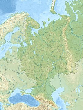
| Location | Ishimbaysky District, Bashkortostan, Russia |
| Parent range | Southern Ural |
This natural monument may be destroyed by The Bashkir soda company and Russian authorities.[1][2]
Physiographic characteristic
Length - 1 km, width 850 m, height - above the Belaya River- 220 m, above the soil level - 200 m, the absolute height above the sea level - 338 m.[3]
Has a conical shape. Slopes - 20-30 degrees, but do not form rocky ledges. The lower part is covered with scree. At the base of the northern slope of the mountain are springs, one of which is sulphurous.
The lake Moksha is located at the foot of Yuraktau.
References
На других языках
- [en] Yuraktau
[ru] Юрактау
Юракта́у (башк. Йөрәктау — «сердце-гора») — шихан, гора-одиночка в Стерлитамакском районе Башкортостана. Памятник природы (1985). Остаток рифа, нижнепермского (поздний палеозой) рифового массива, образовавшегося свыше 230 миллионов лет назад в тропическом море.Другой контент может иметь иную лицензию. Перед использованием материалов сайта WikiSort.org внимательно изучите правила лицензирования конкретных элементов наполнения сайта.
WikiSort.org - проект по пересортировке и дополнению контента Википедии


