geo.wikisort.org - Mountains
Trum y Gwragedd is a top of Foel y Geifr in the Hirnantau. These hills rise from the south east shores of Llyn Tegid.[1]
| Trum y Gwragedd | |
|---|---|
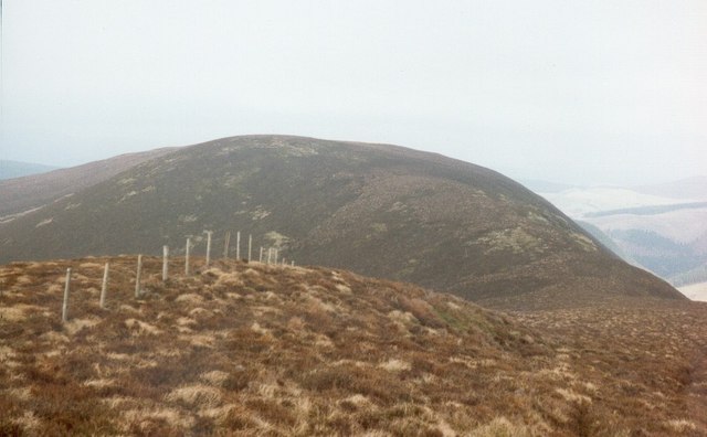 Trum y Gwragedd from Foel y Geifr | |
| Highest point | |
| Elevation | 611 m (2,005 ft) |
| Prominence | 26 m (85 ft) |
| Parent peak | Foel y Geifr |
| Listing | sub Hewitt, Nuttall |
| Geography | |
| Location | Gwynedd, Wales |
| Parent range | Snowdonia |
| Topo map | OS Landranger 115 |
The summit is boggy and marked by a few stones. To the south is Foel y Geifr and to the north is Foel Goch (Hirnant).[2]
References
- Crocker, Chris; Graham Jackson. "Mountaineering & Rock Climbing in the UK: Trum y Gwragedd". Database of British Hills. Mountain Days.net. Archived from the original on 19 July 2011. Retrieved 8 April 2008.
- Nuttall, John & Anne (1999). The Mountains of England & Wales - Volume 1: Wales (2nd edition ed.). Milnthorpe, Cumbria: Cicerone. ISBN 1-85284-304-7.
This Gwynedd location article is a stub. You can help Wikipedia by expanding it. |
Текст в блоке "Читать" взят с сайта "Википедия" и доступен по лицензии Creative Commons Attribution-ShareAlike; в отдельных случаях могут действовать дополнительные условия.
Другой контент может иметь иную лицензию. Перед использованием материалов сайта WikiSort.org внимательно изучите правила лицензирования конкретных элементов наполнения сайта.
Другой контент может иметь иную лицензию. Перед использованием материалов сайта WikiSort.org внимательно изучите правила лицензирования конкретных элементов наполнения сайта.
2019-2026
WikiSort.org - проект по пересортировке и дополнению контента Википедии
WikiSort.org - проект по пересортировке и дополнению контента Википедии