geo.wikisort.org - Mountains
Tokachi Volcanic Group (十勝火山群, Tokachi-kazangun) is a volcanic group of mainly stratovolcanoes arrayed along a southwest–northeast axis in Hokkaidō, Japan.
| Tokachi Volcanic Group | |
|---|---|
| Tokachidake Volcano Group | |
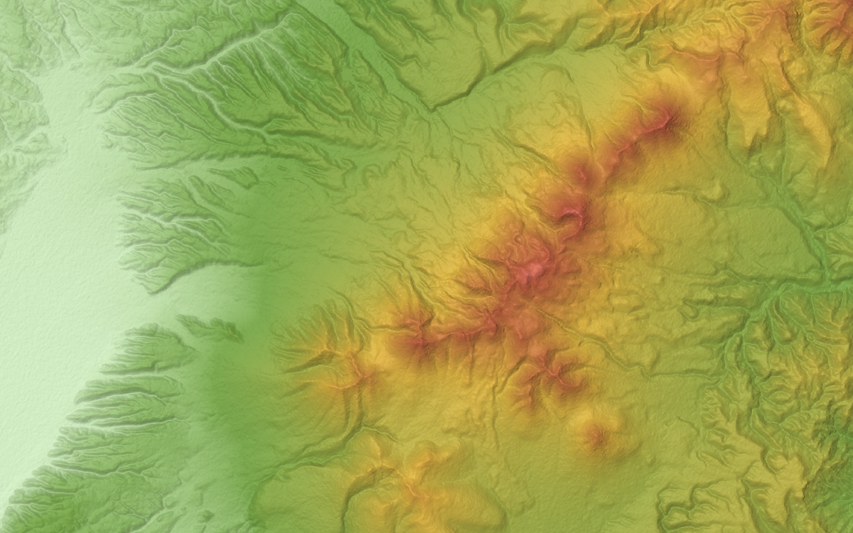 Relief Map | |
| Highest point | |
| Peak | Mount Tokachi (Daisetsuzan) |
| Elevation | 2,077 m (6,814 ft) |
| Coordinates | 43°25′04″N 142°41′11″E |
| Naming | |
| Native name | |
| Geography | |
| Country | Japan |
| State | Hokkaidō |
| Regions | Kamikawa Subprefecture and Tokachi subprefecture |
| Districts | Kamikawa (Ishikari), Kamikawa (Tokachi) and Sorachi |
| Municipalities | Biei, Furano, Kamifurano, Minamifurano, Nakafurano and Shintoku |
| Biome | alpine climate |
| Geology | |
| Orogeny | island arc |
| Age of rock | Quaternary |
| Type of rock | volcanic |
The volcanic group lies on the Kurile arc of the Pacific ring of fire, and consists of andesite, basalt, and dacite stratovolcanoes and lava domes. The group gets its name from the highest peak in the group, Mount Tokachi.[1]
The most recent activity is centered on the northwest end.
List of volcanoes
The following table lists the mountains in the volcanic group.[1]
| Name | Height | Type |
|---|---|---|
| Mount Tokachi (Daisetsuzan) (十勝岳, Tokachi-dake) | 2,077 metres (6,814 ft) | Stratovolcano |
| Mount Biei (美瑛岳, Biei-dake) | 2,052.3 metres (6,733.3 ft) | Stratovolcano |
| Mount Oputateshike (オプタテシケ山, Oputateshike-yama) | 2,013 metres (6,604 ft) | |
| Mount Kamihorokamettoku (上ホロカメットク山, Kami-horokamettoku-san) | 1,920 metres (6,300 ft) | Stratovolcano |
| Mount Furano (富良野岳, Furano-dake) | 1,912.1 metres (6,273.3 ft) | Stratovolcano |
| Biei Fuji (美瑛富士, Biei-fuji) | 1,888 metres (6,194 ft) | Stratovolcano |
| Mount Bebetsu (ベベツ岳, Bebetsu-dake) | 1,860 metres (6,100 ft) | - |
Other peaks include:
- Chuo-Kakokyu cone
- Ko-Tokachi-Dake stratovolcano
- Mae-Tokachi-Dake stratovolcano
- Maru-Yama cone
- Nokogiri-Dake stratovolcano
- Suribachi-Kakokyu cone
- Tairaga-Dake stratovolcano
See also
References
- "Quaternary Volcanoes in Japan". Geological Survey of Japan. National Institute of Advanced Industrial Science and Technology (AIST). 2006. Archived from the original on 2008-03-22. Retrieved 2008-07-24.
External links
- Tokachidake - Japan Meteorological Agency (in Japanese)
- "Tokachidake: National catalogue of the active volcanoes in Japan" (PDF). - Japan Meteorological Agency
- Tokachi Dake Volcano Group - Geological Survey of Japan
- Tokachidake: Global Volcanism Program - Smithsonian Institution
This Hokkaidō location article is a stub. You can help Wikipedia by expanding it. |
На других языках
- [en] Tokachi Volcanic Group
[fr] Groupe volcanique Tokachi
Le groupe volcanique Tokachi (十勝火山群, Tokachi-kazangun?) est composé pour l'essentiel de stratovolcans disposés le long d'un axe sud-ouest/nord-est sur l'île de Hokkaidō au Japon.Текст в блоке "Читать" взят с сайта "Википедия" и доступен по лицензии Creative Commons Attribution-ShareAlike; в отдельных случаях могут действовать дополнительные условия.
Другой контент может иметь иную лицензию. Перед использованием материалов сайта WikiSort.org внимательно изучите правила лицензирования конкретных элементов наполнения сайта.
Другой контент может иметь иную лицензию. Перед использованием материалов сайта WikiSort.org внимательно изучите правила лицензирования конкретных элементов наполнения сайта.
2019-2026
WikiSort.org - проект по пересортировке и дополнению контента Википедии
WikiSort.org - проект по пересортировке и дополнению контента Википедии