geo.wikisort.org - Mountains
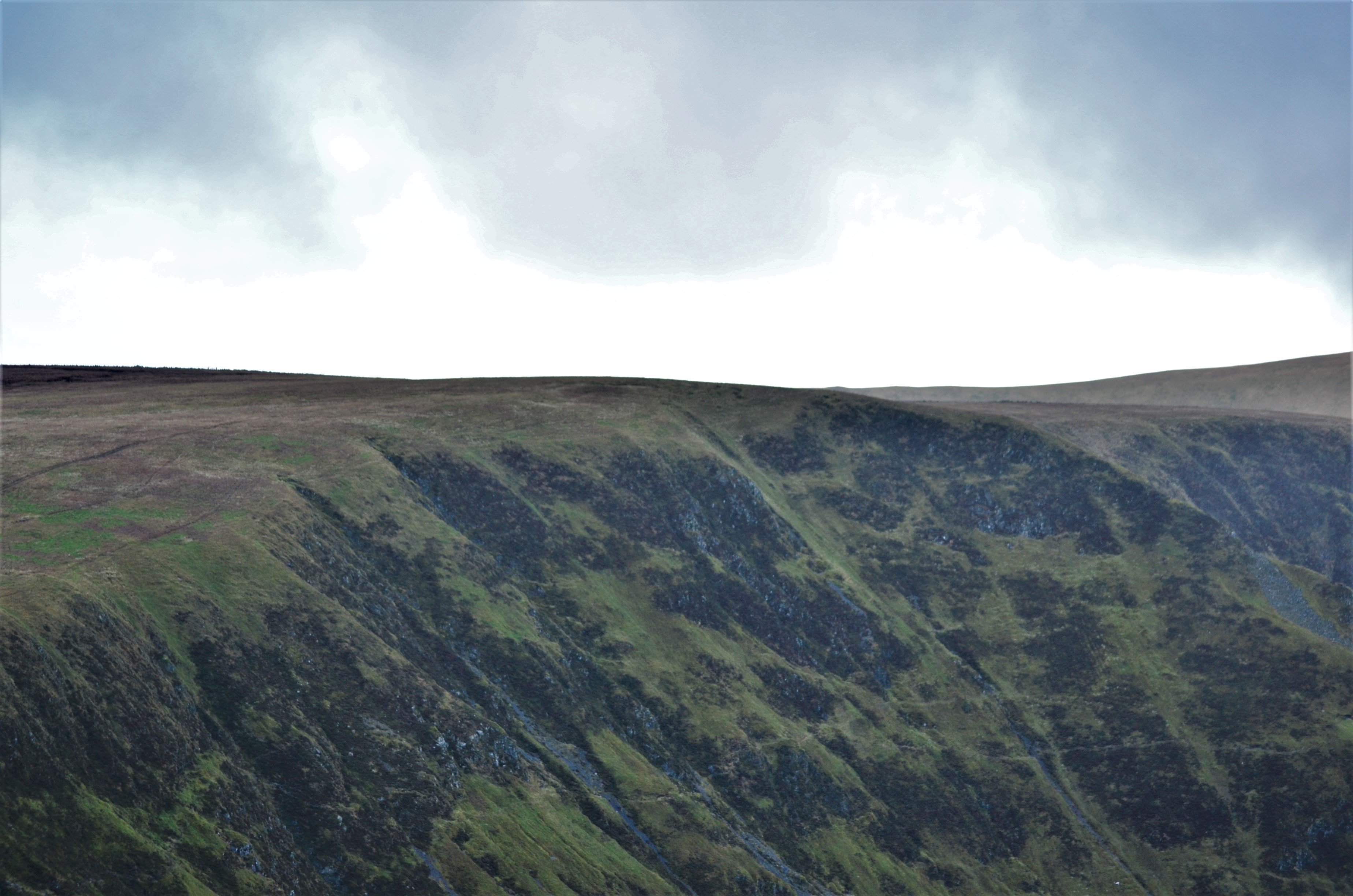
Swatte Fell is a hill in the Moffat Hills range, part of the Southern Uplands of Scotland. It lies north of the town of Moffat in Dumfries and Galloway, south of its parent peak, Hart Fell. It is gently sloping on three sides of the hill, however the east ridge is steep and craggy and features a deep corrie known as Blackhope, from which a popular rock climb, the Coomb Craig ridge, originates, finishing near the summit, and was featured on the OS Explorer 330 map front cover.[5] The normal route is from the southern ridge and can be extended to include a full loop of Blackhope, finishing on Saddle Yoke, known as the Hart Fell Horseshoe.
| Swatte Fell | |
|---|---|
 | |
| Highest point | |
| Elevation | 729.9 m (2,395 ft)[1] |
| Prominence | 36.3 m (119 ft)[2] |
| Listing | Tu,Sim,D,GT,DN[3] |
| Naming | |
| English translation | English: Sweat Hill [4] |
| Geography | |
| Location | Dumfries and Galloway, Scotland |
| Parent range | Moffat Hills, Southern Uplands |
| OS grid | NT 11848 11385 |
| Topo map | OS Landranger 78 |
Subsidiary SMC Summits
| Summit | Height (m) | Listing[6] |
|---|---|---|
| Nether Coomb Craig | 724.2 | DT,sSim[7] |
| Falcon Craig | 723.7 | DT,sSim[8] |
References
This Scottish location article is a stub. You can help Wikipedia by expanding it. |
Текст в блоке "Читать" взят с сайта "Википедия" и доступен по лицензии Creative Commons Attribution-ShareAlike; в отдельных случаях могут действовать дополнительные условия.
Другой контент может иметь иную лицензию. Перед использованием материалов сайта WikiSort.org внимательно изучите правила лицензирования конкретных элементов наполнения сайта.
Другой контент может иметь иную лицензию. Перед использованием материалов сайта WikiSort.org внимательно изучите правила лицензирования конкретных элементов наполнения сайта.
2019-2026
WikiSort.org - проект по пересортировке и дополнению контента Википедии
WikiSort.org - проект по пересортировке и дополнению контента Википедии