geo.wikisort.org - Mountains
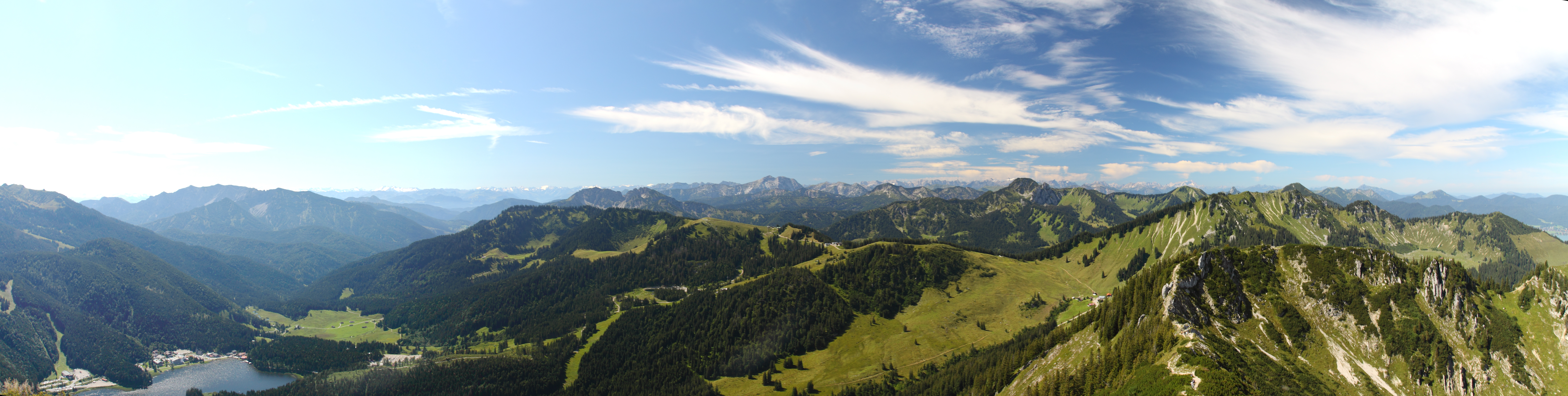
The Stümpfling is a mountain, 1,506 metres high, in the Bavarian Prealps. The mountain is an easy mountain walk from the Spitzingsee lake or from the Wildbach Hut. The Suttenbahn and Stümpflingbahn lifts run up the mountain to just below the summit.
This article does not cite any sources. (September 2020) |
| Stümpfling | |
|---|---|
 Stümpfling Bavaria, | |
| Highest point | |
| Elevation | 1,506 m above sea level (NN) (4,941 ft) |
| Coordinates | 47°39′44″N 11°51′23″E |
| Geography | |
| Location | Bavaria, |
| Parent range | Mangfall Mountains |
| Climbing | |
| Normal route | from the Spitzing Saddle |
External links
На других языках
[de] Stümpfling
Der Stümpfling ist ein 1506 m ü. NHN hoher Berg in den Bayerischen Voralpen. Er liegt in den Schlierseer Bergen im Mangfallgebirge. Der Berg ist als einfache Bergwanderung vom Spitzingsee oder von der Wildbachhütte zu erreichen. Bis kurz unter den Gipfel führen Suttenbahn und Stümpflingbahn.- [en] Stümpfling
Текст в блоке "Читать" взят с сайта "Википедия" и доступен по лицензии Creative Commons Attribution-ShareAlike; в отдельных случаях могут действовать дополнительные условия.
Другой контент может иметь иную лицензию. Перед использованием материалов сайта WikiSort.org внимательно изучите правила лицензирования конкретных элементов наполнения сайта.
Другой контент может иметь иную лицензию. Перед использованием материалов сайта WikiSort.org внимательно изучите правила лицензирования конкретных элементов наполнения сайта.
2019-2026
WikiSort.org - проект по пересортировке и дополнению контента Википедии
WikiSort.org - проект по пересортировке и дополнению контента Википедии