geo.wikisort.org - Mountains
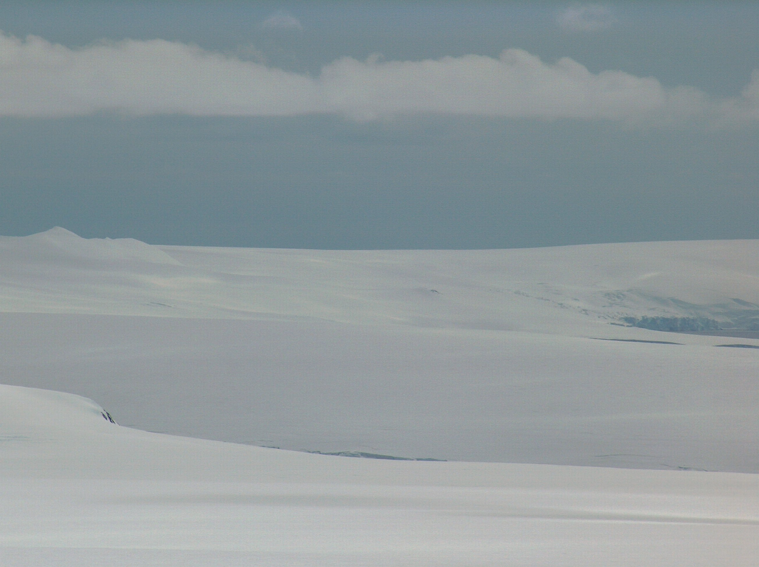
Snow Peak is a snow-covered peak rising to 428 m in western Livingston Island in the South Shetland Islands, Antarctica. It is linked by a saddle to Casanovas Peak in the west, and surmounts Berkovitsa Glacier to the northwest, Fletcher Nunatak and Belev Nunatak to the northeast, Tundzha Glacier to the east and Verila Glacier to the southwest.


The feature was charted and named descriptively by Discovery Investigations personnel in 1935.
Location
The peak is located at 62°34′59″S 60°42′43″W which is 12.89 km northeast of Rotch Dome, 2.83 km east of Casanovas Peak, 2.92 km southwest of Avitohol Point and 7.04 km north-northwest of Ustra Peak (British mapping in 1935 and 1968, and Bulgarian in 2005 and 2009).
Maps
- L.L. Ivanov et al. Antarctica: Livingston Island and Greenwich Island, South Shetland Islands. Scale 1:100000 topographic map. Sofia: Antarctic Place-names Commission of Bulgaria, 2005.
- L.L. Ivanov. Antarctica: Livingston Island and Greenwich, Robert, Snow and Smith Islands. Scale 1:120000 topographic map. Troyan: Manfred Wörner Foundation, 2009. ISBN 978-954-92032-6-4
References
This Livingston Island location article is a stub. You can help Wikipedia by expanding it. |
На других языках
[de] Snow Peak (Livingston-Insel)
Der Snow Peak (englisch für Schneegipfel) ist ein 430 m und verschneiter Berg auf der Livingston-Insel im Archipel der Südlichen Shetlandinseln. Er ragt südwestlich der Hero Bay auf.- [en] Snow Peak (Antarctica)
Другой контент может иметь иную лицензию. Перед использованием материалов сайта WikiSort.org внимательно изучите правила лицензирования конкретных элементов наполнения сайта.
WikiSort.org - проект по пересортировке и дополнению контента Википедии