geo.wikisort.org - Mountains
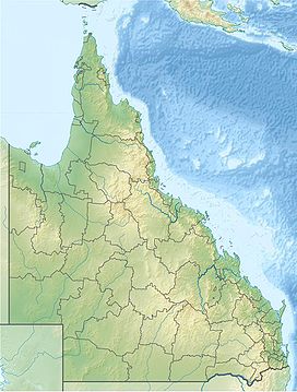
The Seaview Range, part of the Great Dividing Range, is a mountain range located west of Ingham in North Queensland, Australia. Much of the range is covered by rainforest and parts of it are protected in the Girringun National Park and the Wet Tropics of Queensland world heritage area.
| Seaview | |
|---|---|
| Highest point | |
| Elevation | 707 m (2,320 ft) |
| Geography | |
| Country | Australia |
| State | Queensland |
| Region | Far North Queensland |
| Range coordinates | 18°38.4′S 145°53.05′E |
| Parent range | Great Dividing Range |
The range is the headwaters for the Burdekin River,[1] the Herbert River and contains Wallaman Falls.
History
The Seaview Range was first explored by Frederick Manson Bailey in 1873. It was nominated for listing on the National Heritage Register in 1978.[2]
See also
References
- "Rivers - Assessment of River Condition - Queensland". Australian Natural Resources Atlas. Department of the Environment, Water, Heritage and the Arts. Archived from the original on 8 October 2009. Retrieved 5 January 2010.
- "History of World Heritage listing". Wet Tropics Management Authority. Archived from the original on 12 September 2009. Retrieved 5 January 2010.
На других языках
[de] Seaview Range
Die Seaview Range ist ein Teil der Great Dividing Range und ein Bergland westlich von Ingham im Norden von Queensland, Australien. Große Gebiete des Berglands sind von Regenwäldern bedeckt, die im Girringun-Nationalpark in den Wet Tropics of Queensland, einem UNESCO-Weltnaturerbe geschützt sind.- [en] Seaview Range
Текст в блоке "Читать" взят с сайта "Википедия" и доступен по лицензии Creative Commons Attribution-ShareAlike; в отдельных случаях могут действовать дополнительные условия.
Другой контент может иметь иную лицензию. Перед использованием материалов сайта WikiSort.org внимательно изучите правила лицензирования конкретных элементов наполнения сайта.
Другой контент может иметь иную лицензию. Перед использованием материалов сайта WikiSort.org внимательно изучите правила лицензирования конкретных элементов наполнения сайта.
2019-2025
WikiSort.org - проект по пересортировке и дополнению контента Википедии
WikiSort.org - проект по пересортировке и дополнению контента Википедии
