geo.wikisort.org - Mountains
Sarajevo's Ozren is complex of mountains and hilly plateaus located northeast of Sarajevo.[1] This entire area is covered by a number of different paths and hiking trails, and it has popular picnic areas (Barice, Čavljak, Pjeskovita Ravan), popular for people from Sarajevo.[2][3]
| Sarajevo's Ozren | |
|---|---|
 View of Sarajevo's Ozren from Trebević | |
| Highest point | |
| Elevation | 1,534 m (5,033 ft) |
| Coordinates | 43°56′01″N 18°27′02″E |
| Naming | |
| Native name | Sarajevski Ozren Error {{native name checker}}: parameter value is malformed (help) |
| Geography | |
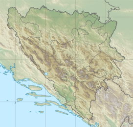 Bosnia and Herzegovina | |
Geography
Sarajevo's Ozren consists of several main parts:[4]
- Ozren-mountain (Ozren in the narrow sense), includes Motka, Visojevica, area Ozren-Bandijera
- Plateau Crepoljsko, includes area of Crepoljsko, area Crni Vrh (near Vučija Luka) and southeast ridges over Miljacka
- Mountain ridge Bukovik, includes main ridge Bukovik and Nahorevo hills - Bijelosava
- Hill Hum (in Sarajevo)
Highest peak of Sarajevo's Ozren is Bukovik (1534 m),[5][6] and second highest is Crepoljsko (1524 m).[7]
Skakavac waterfall, a declared natural monument is also located in Sarajevo's Ozren.
References
| Wikimedia Commons has media related to Sarajevo's Ozren. |
- "Sarajevo's Ozren". Sarajevo.travel.
- "Sarajevski Ozren". Sarajevo.travel.
- "Sarajevski Ozren – Mountaintour.ba".
- "Ozren (kod Sarajeva) - osnovna stranica". DINARSKO GORJE.
- "Bukovik". trail.viadinarica.com (in Bosnian).
- "PLANINE I PLANINSKI VRHOVI VIŠI OD 1500 METARA NADMORSKE VISINE". 19 April 2016. Archived from the original on 2016-04-19.
- "Crepoljsko". DINARSKO GORJE.
This Bosnia and Herzegovina geography article is a stub. You can help Wikipedia by expanding it. |
Текст в блоке "Читать" взят с сайта "Википедия" и доступен по лицензии Creative Commons Attribution-ShareAlike; в отдельных случаях могут действовать дополнительные условия.
Другой контент может иметь иную лицензию. Перед использованием материалов сайта WikiSort.org внимательно изучите правила лицензирования конкретных элементов наполнения сайта.
Другой контент может иметь иную лицензию. Перед использованием материалов сайта WikiSort.org внимательно изучите правила лицензирования конкретных элементов наполнения сайта.
2019-2026
WikiSort.org - проект по пересортировке и дополнению контента Википедии
WikiSort.org - проект по пересортировке и дополнению контента Википедии