geo.wikisort.org - Mountains
The Rigi Hochflue is a mountain summit west of the mountain range Urmiberg, in itself part of the Rigi massif, overlooking the Gersauerbecken of Lake Lucerne in Central Switzerland on its mountainside to the south, and Lake Lauerz on its north side. It has an elevation of 1,698 metres (5,571 ft) above sea level and is located in the canton of Schwyz.
| Rigi Hochflue | |
|---|---|
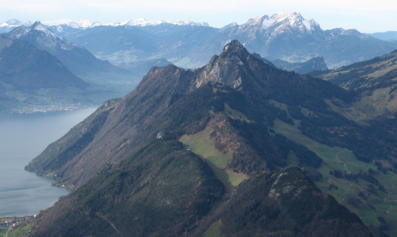 The Rigi Hochflue and Lake Lucerne | |
| Highest point | |
| Elevation | 1,698 m (5,571 ft)[1] |
| Prominence | 508 m (1,667 ft)[1] |
| Parent peak | Rigi Kulm |
| Coordinates | 47°00′36″N 8°33′36″E |
| Naming | |
| Native name | Hoflue (Swiss Standard German) |
| Geography | |
 Rigi Hochflue Location in Switzerland | |
| Country | Switzerland |
| Canton | Schwyz |
| Parent range | Schwyzer Alps |
| Topo map | Swiss Federal Office of Topography swisstopo |
References
- Swisstopo maps
External links
This article about a mountain, mountain range, or peak located in the canton of Schwyz is a stub. You can help Wikipedia by expanding it. |
Текст в блоке "Читать" взят с сайта "Википедия" и доступен по лицензии Creative Commons Attribution-ShareAlike; в отдельных случаях могут действовать дополнительные условия.
Другой контент может иметь иную лицензию. Перед использованием материалов сайта WikiSort.org внимательно изучите правила лицензирования конкретных элементов наполнения сайта.
Другой контент может иметь иную лицензию. Перед использованием материалов сайта WikiSort.org внимательно изучите правила лицензирования конкретных элементов наполнения сайта.
2019-2026
WikiSort.org - проект по пересортировке и дополнению контента Википедии
WikiSort.org - проект по пересортировке и дополнению контента Википедии