geo.wikisort.org - Mountains
The Richardson Mountains are a mountain range located west of the mouth of the Mackenzie River in northern Yukon, Canada. They parallel the northernmost part of the boundary between Yukon and Northwest Territories.
| Richardson Mountains | |
|---|---|
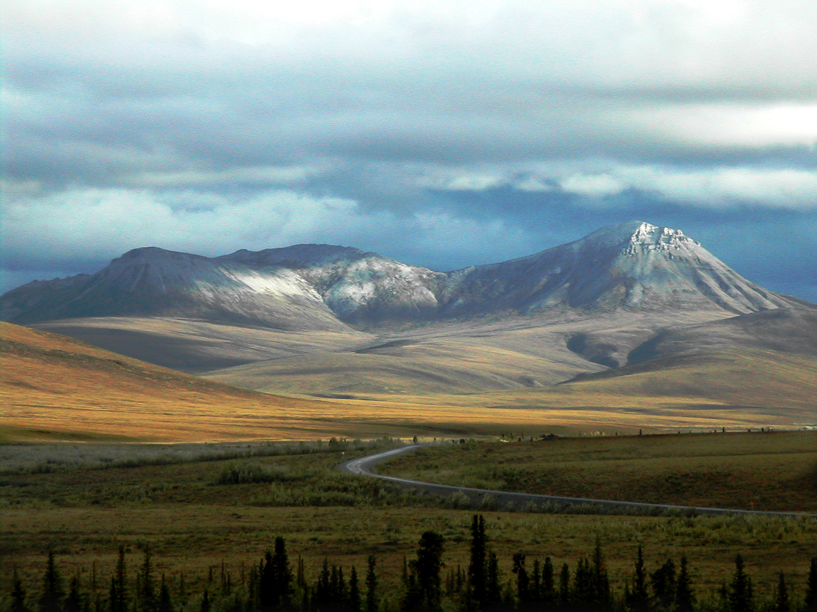 Dempster Highway crossing the Richardson Mountains | |
| Highest point | |
| Peak | Manuel Peak |
| Elevation | 1,722 m (5,650 ft)[1] |
| Prominence | 1,292 m (4,239 ft)[1] |
| Coordinates | 67°59′36″N 136°35′07″W[1] |
| Naming | |
| Etymology | Named for Arctic explorer John Richardson[2] |
| Geography | |
| Country | Canada |
| Territory | Yukon |
| Range coordinates | 68°19′59″N 135°45′09″W[3] |
| Parent range | Brooks Range |
| Topo map | NTS 106L05[3] |
Although some sources[4] consider the Richardson Mountains to be part of the Canadian Rockies, the common northern limit of the Canadian Rockies is the Liard River, which is a long way south. The Richardson Mountains are a sub-range of the Brooks Range which lies mostly in Alaska.[2]
See also
- List of mountain ranges of Canada
- Albert Johnson (criminal)
References
- "Manuel Peak". Bivouac.com. Retrieved 2022-10-06.
- "Richardson Mountains". bivouac.com. Retrieved 2016-02-10.
- "Richardson Mountains". Geographical Names Data Base. Natural Resources Canada. Retrieved 2022-10-06.
- "Rocky Mountains | Location, Map, History, & Facts | Britannica".
This article about a Yukon location is a stub. You can help Wikipedia by expanding it. |
На других языках
[de] Richardson Mountains
Die Richardson Mountains sind ein Gebirgszug im Norden Kanadas. Sie verlaufen westlich des Mackenzies entlang des nördlichen Teils der Grenze zwischen den Territorien Yukon und Nordwest. Sie werden entweder dem Yukon Plateau oder der Brookskette zugeordnet.[1] Mit letzterer werden sie von Geologen und US-Geographen auch als Übergang zu den Mackenzie Mountains und Verlängerung der Rocky Mountains betrachtet.[2][3] Mit einer Ausdehnung von 320 km in nord-südlicher und 170 km in ost-westlicher Richtung bedecken sie eine Fläche von 46.567 km². Die höchste Erhebung hat eine Höhe von 1240 m.- [en] Richardson Mountains
[ru] Ричардсон (хребет)
Хребет Ричардсон (англ. Richardson Mountains ) — горный хребет на территории Юкон на северо-западе Канады к западу от устья реки Маккензи.Текст в блоке "Читать" взят с сайта "Википедия" и доступен по лицензии Creative Commons Attribution-ShareAlike; в отдельных случаях могут действовать дополнительные условия.
Другой контент может иметь иную лицензию. Перед использованием материалов сайта WikiSort.org внимательно изучите правила лицензирования конкретных элементов наполнения сайта.
Другой контент может иметь иную лицензию. Перед использованием материалов сайта WikiSort.org внимательно изучите правила лицензирования конкретных элементов наполнения сайта.
2019-2026
WikiSort.org - проект по пересортировке и дополнению контента Википедии
WikiSort.org - проект по пересортировке и дополнению контента Википедии