geo.wikisort.org - Mountains
Rhobell Fawr is the site of an ancient volcano that was active during the Early Ordovician period[1][2] in the Arenig range within the Snowdonia National Park.
| Rhobell Fawr | |
|---|---|
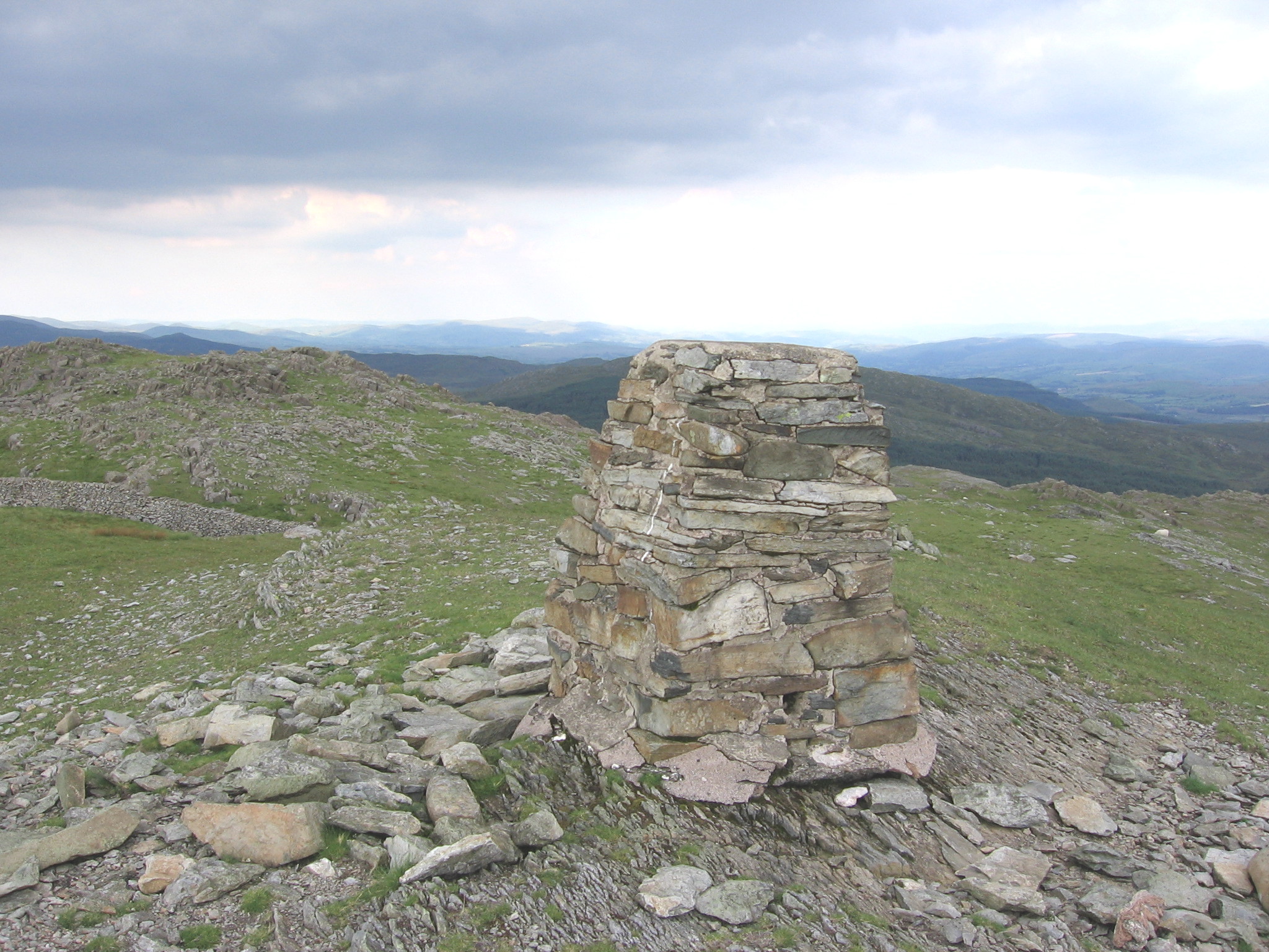 The summit of Rhobell Fawr | |
| Highest point | |
| Elevation | 734 m (2,408 ft) |
| Prominence | 309 m (1,014 ft) |
| Parent peak | Arenig Fawr |
| Listing | Marilyn, Hewitt, Nuttall |
| Coordinates | 52.814°N 3.802°W |
| Naming | |
| Pronunciation | Welsh: [ˈr̥ɔbɛɬ ˈvaur] |
| Geography | |
| Location | Gwynedd, Wales |
| Parent range | Snowdonia |
| OS grid | SH786256 |
| Topo map | OS Landranger 124 |
| Listed summits of Rhobell Fawr | ||||
| Name | Grid ref | Height | Status | |
|---|---|---|---|---|
| Dduallt | 662 m (2,172 ft) | Hewitt, Nuttall | ||
| Rhobell Ganol | 521 m (1,709 ft) | TuMP | ||
| Rhobell-y-big | 504 m (1,654 ft) | Dodd (hill), Dewey (hill) | ||
Despite its modest height of 734 m (2,408 feet), it is a mountain with views of higher peaks all around, including the north face of Cadair Idris and distant Snowdon.
The paths are not well trodden, but there is a distinct path up from Bwlch Goriwared, a couple of miles north-north-east of the small village of Llanfachreth.
References
- Geoscience Wales (2015). "Rhobell Fawr: The First Signs of Ordovician Volcanism in North Wales".
- "North West Wales Outdoors: Snowdon". BBC. 2002. Archived from the original on 16 October 2006.
External links
Текст в блоке "Читать" взят с сайта "Википедия" и доступен по лицензии Creative Commons Attribution-ShareAlike; в отдельных случаях могут действовать дополнительные условия.
Другой контент может иметь иную лицензию. Перед использованием материалов сайта WikiSort.org внимательно изучите правила лицензирования конкретных элементов наполнения сайта.
Другой контент может иметь иную лицензию. Перед использованием материалов сайта WikiSort.org внимательно изучите правила лицензирования конкретных элементов наполнения сайта.
2019-2026
WikiSort.org - проект по пересортировке и дополнению контента Википедии
WikiSort.org - проект по пересортировке и дополнению контента Википедии