geo.wikisort.org - Mountains
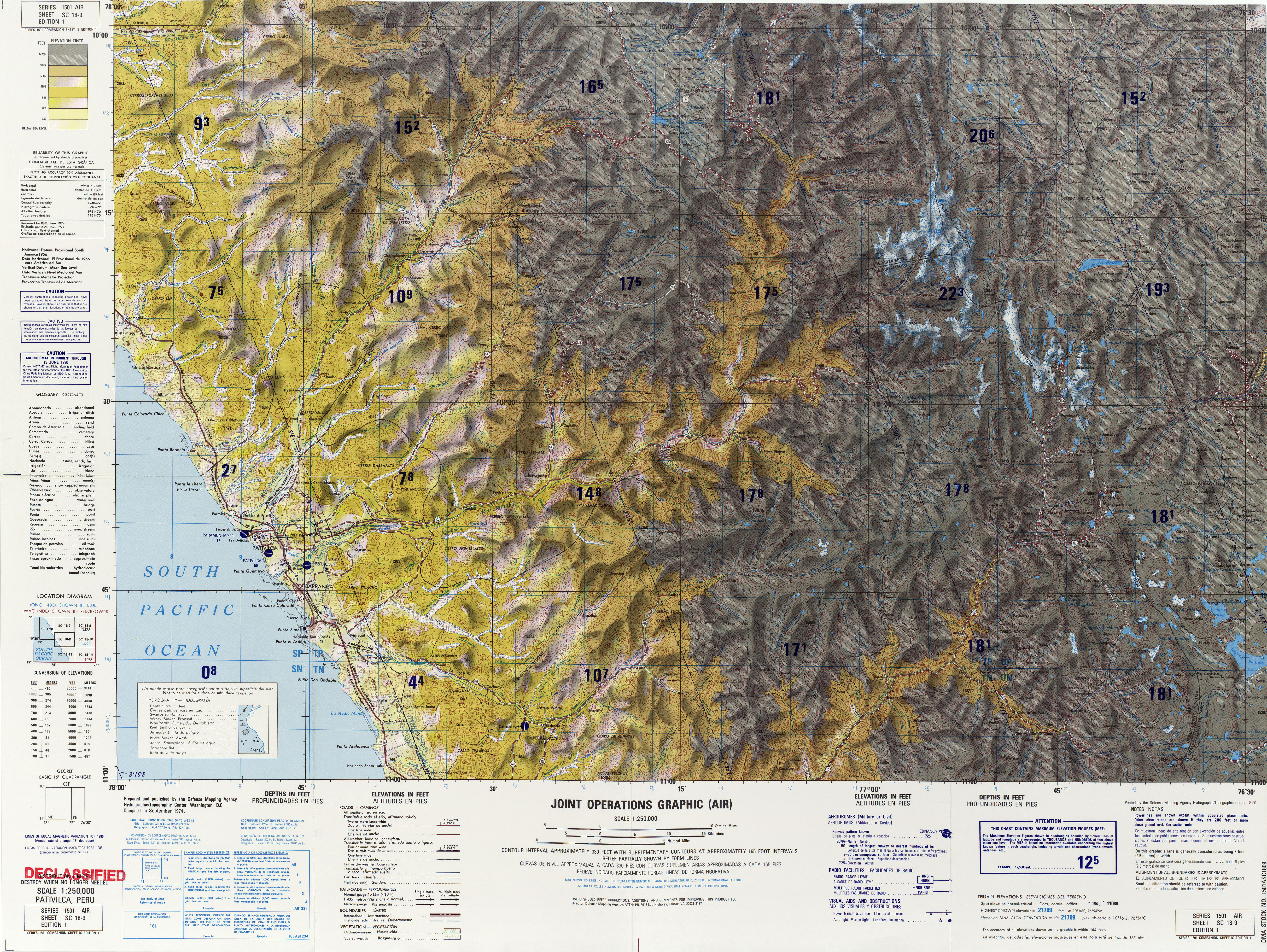
Puka Qaqa (Quechua puka red, qaqa rock,[2] "red rock", Hispanicized spelling Pucaccaca) is a 4,640-metre-high (15,220 ft) mountain in the Cordillera Negra in the Andes of Peru. It is situated in the Ancash Region, Recuay Province, on the border of the districts of Huayllapampa and Marca. Puka Qaqa lies southwest of Qulluta and Minas Hirka.[3]
| Puka Qaqa | |
|---|---|
 Puka Qaqa Peru | |
| Highest point | |
| Elevation | 4,640 m (15,220 ft)[1] |
| Coordinates | 10°01′39″S 77°28′27″W |
| Geography | |
| Location | Peru, Ancash Region |
| Parent range | Andes, Cordillera Negra |
References
- "South America Maps". Defense Mapping Agency, Hydrographic/Topographic Center, Washington, D.C. Retrieved October 1, 2015.
- Teofilo Laime Ajacopa (2007). Diccionario Bilingüe Iskay simipi yuyayk’anch [Quechua-English dictionary] (PDF). La Paz, Bolivia.
- escale.minedu.gob.pe - UGEL map of the Recuay Province (Ancash Region)
External links
Wikimedia Commons has media related to Cordillera Negra.
This Ancash Region geography article is a stub. You can help Wikipedia by expanding it. |
Текст в блоке "Читать" взят с сайта "Википедия" и доступен по лицензии Creative Commons Attribution-ShareAlike; в отдельных случаях могут действовать дополнительные условия.
Другой контент может иметь иную лицензию. Перед использованием материалов сайта WikiSort.org внимательно изучите правила лицензирования конкретных элементов наполнения сайта.
Другой контент может иметь иную лицензию. Перед использованием материалов сайта WikiSort.org внимательно изучите правила лицензирования конкретных элементов наполнения сайта.
2019-2025
WikiSort.org - проект по пересортировке и дополнению контента Википедии
WikiSort.org - проект по пересортировке и дополнению контента Википедии