geo.wikisort.org - Mountains
Pico Bonpland is Venezuela's third highest peak, at 4,883 metres above sea level. It is located in the Sierra Nevada de Merida, in the Venezuelan Andes of (Mérida State). The peak with its sister peak Pico Humboldt, and the surrounding páramos are protected by the Sierra Nevada National Park. The name of the peak is in honor of Aimé Bonpland, although he never visited the Venezuelan Andes.
| Pico Bonpland | |
|---|---|
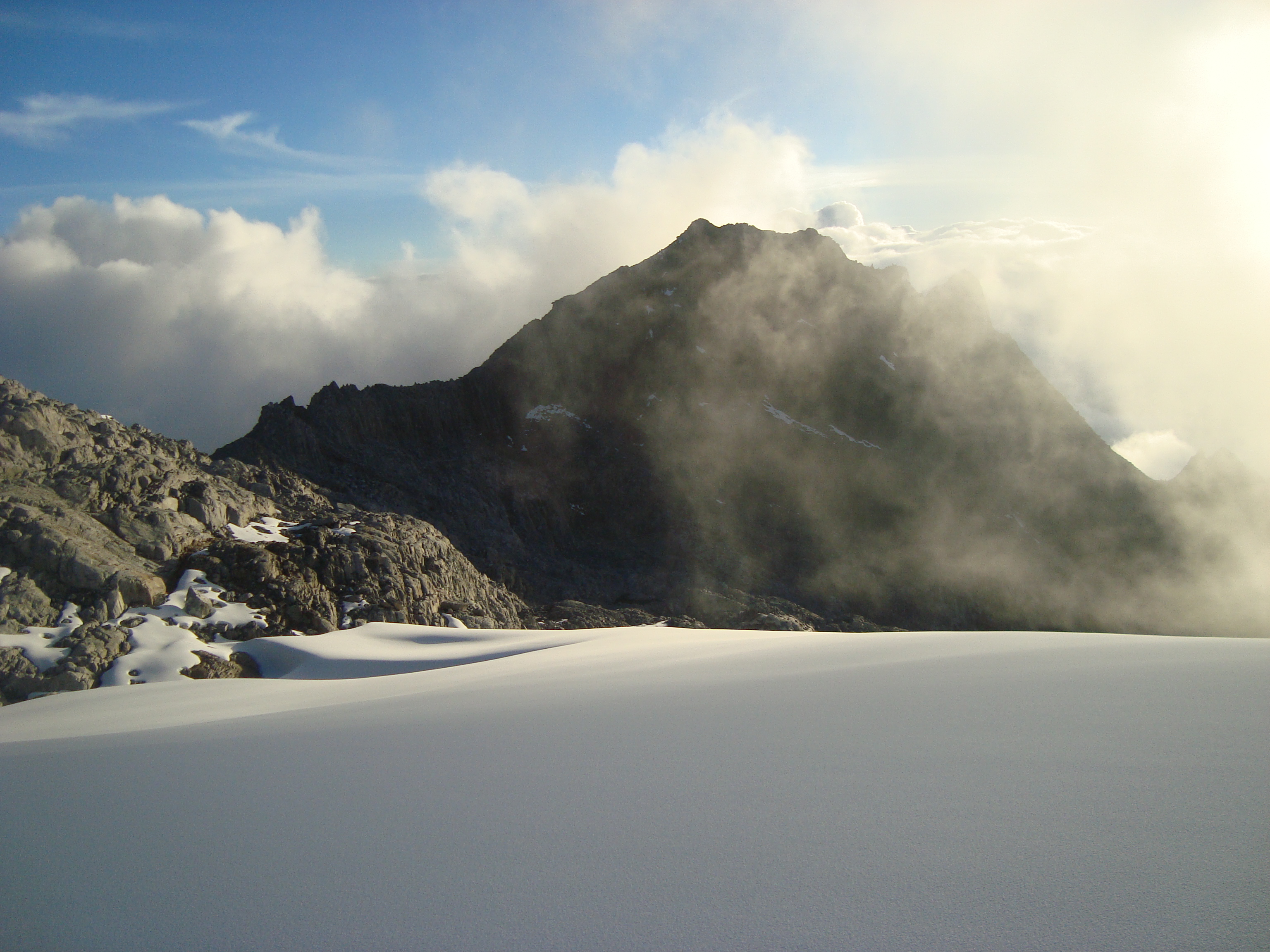 Pico Bonpland as seen from the Pico Humboldt | |
| Highest point | |
| Elevation | 4,883 m (16,020 ft) |
| Coordinates | 8°32′N 71°00′W |
| Geography | |
| Location | Mérida, Venezuela |
| Parent range | Sierra Nevada, Andes |
| Climbing | |
| First ascent | 1911 by Alfredo Jahn (was the same ascent to the Pico Humboldt as well) |
| Easiest route | By the excursionist route Pico Espejo-Mucuy. |
The glaciers located in the Bonpland were the result from Merida glaciation in the Pleistocene. By 2011 they had all disappeared.[1]
References
- Jahn A, Observaciones glaciológicas de los Andes venezolanos. Cult. Venez. 1925, 64:265-80
- Braun, Carsten; Bezada, Maximiliano (January 2013). "The History and Disappearance of Glaciers in Venezuela". Journal of Latin American Geography. 12 (2): 85–124. doi:10.1353/lag.2013.0016. JSTOR 24394855. S2CID 144112559.
This article about a location in Venezuela is a stub. You can help Wikipedia by expanding it. |
На других языках
- [en] Pico Bonpland
[es] Pico Bonpland
El Pico Bonpland es el cuarto pico más alto de Venezuela, a 4883 metros sobre el nivel del mar. El nombre de la cumbre es en honor a Aimé Bonpland, aunque este nunca visitó Los Andes venezolanos.Текст в блоке "Читать" взят с сайта "Википедия" и доступен по лицензии Creative Commons Attribution-ShareAlike; в отдельных случаях могут действовать дополнительные условия.
Другой контент может иметь иную лицензию. Перед использованием материалов сайта WikiSort.org внимательно изучите правила лицензирования конкретных элементов наполнения сайта.
Другой контент может иметь иную лицензию. Перед использованием материалов сайта WikiSort.org внимательно изучите правила лицензирования конкретных элементов наполнения сайта.
2019-2026
WikiSort.org - проект по пересортировке и дополнению контента Википедии
WikiSort.org - проект по пересортировке и дополнению контента Википедии