geo.wikisort.org - Mountains
Pic dels Aspres is a mountain in the northwest of the principality of Andorra, close to the border with Spain. The nearest town is Arinsal, La Massana.
| Pic dels Aspres | |
|---|---|
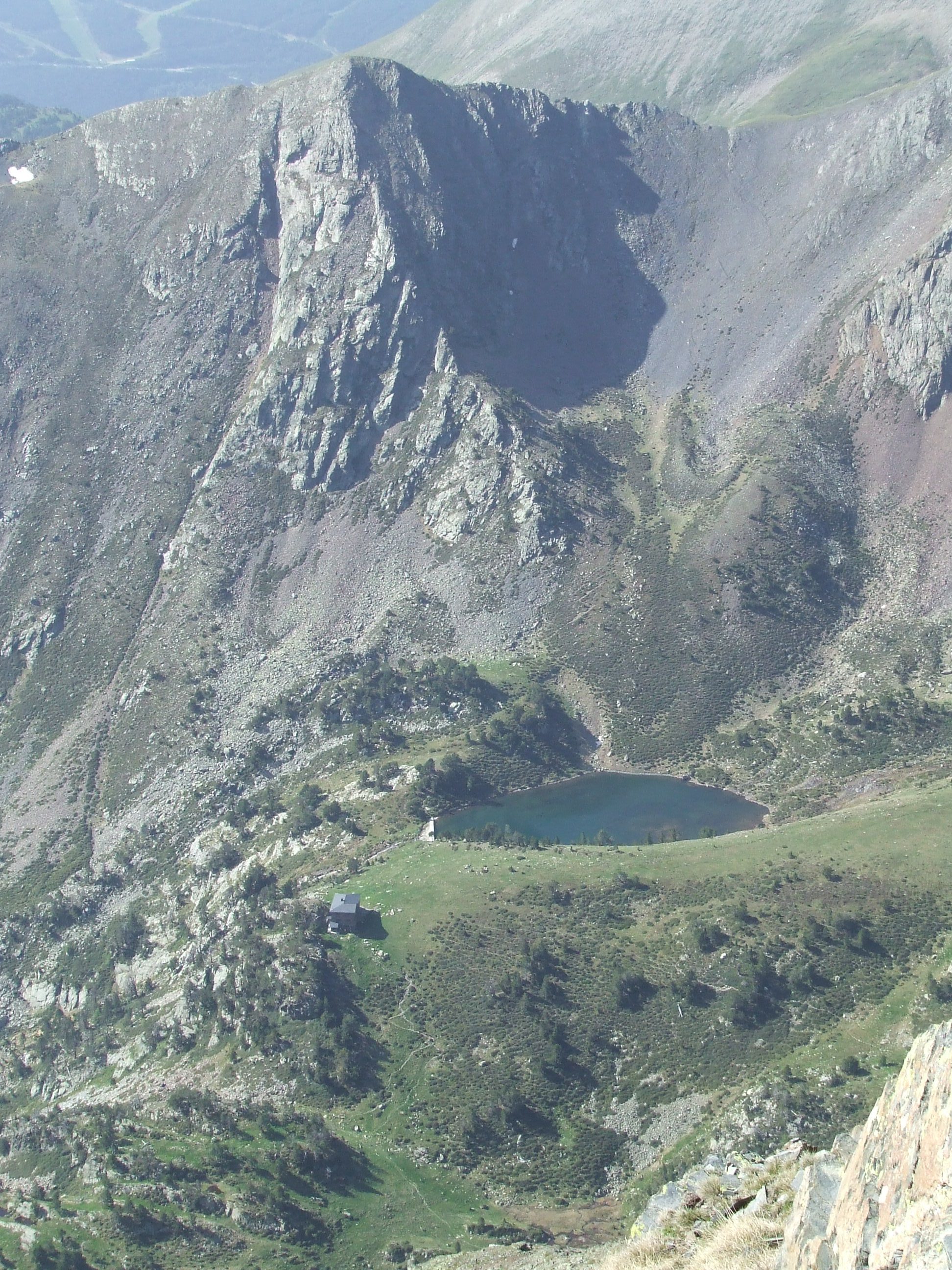 Pic del Aspres, Estany de les Truites and Refugi de Coma Pedrosa. | |
| Highest point | |
| Elevation | 2,562 m (8,406 ft) |
| Parent peak | Pic del Port Vell |
| Coordinates | 42°34′45″N 1°27′05″E |
| Geography | |
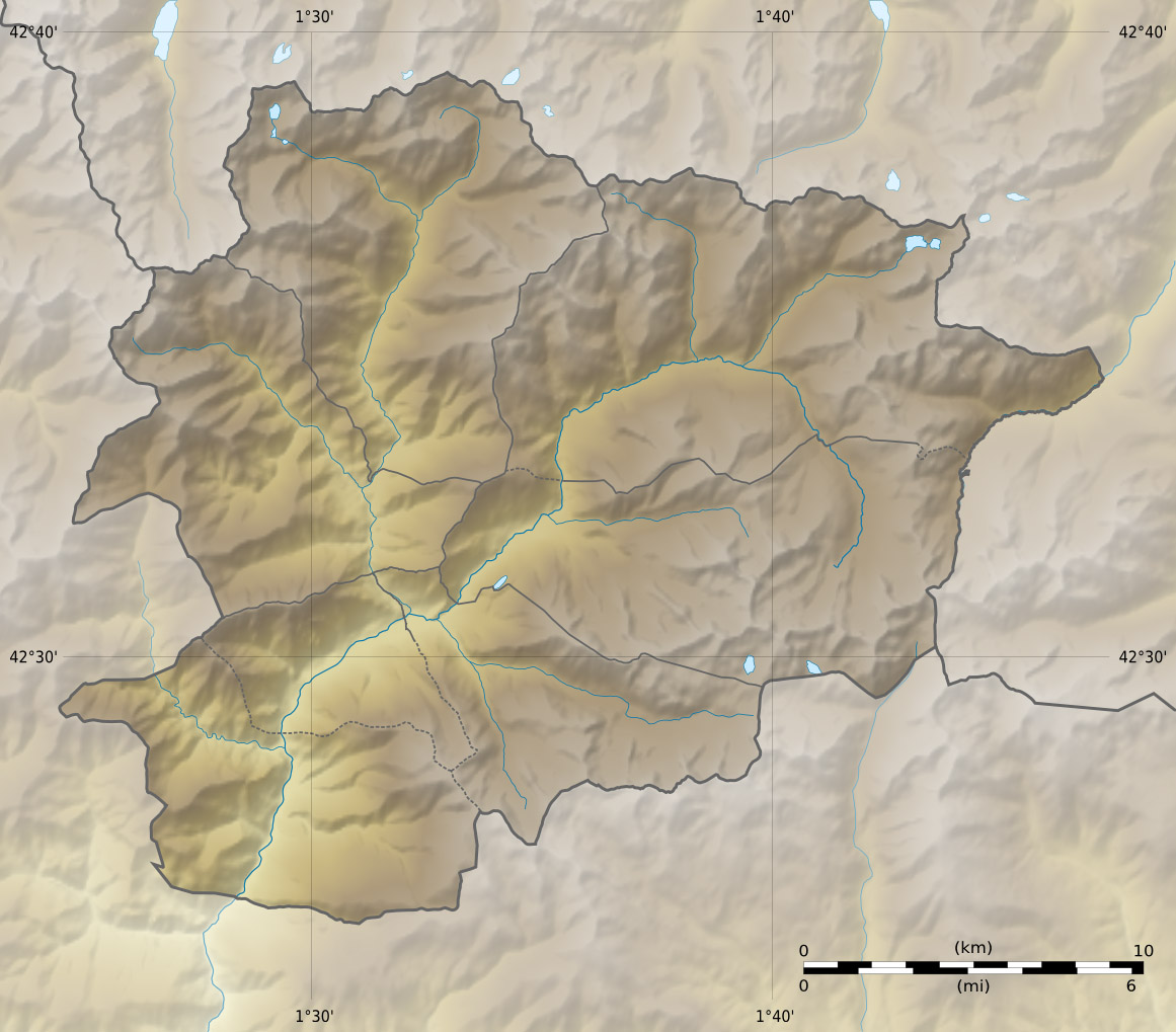 Pic dels Aspres Location of Pic dels Aspres within La Massana parish, Andorra | |
| Location | La Massana parish, Andorra |
| Parent range | Pyrenees |
Geographic features
Some 250 metres below the summit is a round cirque, approximately 100 metres in diameter, which was formed by glacial erosion during the Last Glacial Maximum and which is now a lake, Estany de les Truites (the trout lake).
The valley to the south of the mountain is used as a ski area.
History
During the neolithic, sedentary populations inhabited the dels Aspres hills, and built megalithic dolmens in the area.[1]
References
- (in French) Banyuls-dels-Aspres, Les-pyrenees-orientales.com (accessed on 3 October 2019)
This Andorran location article is a stub. You can help Wikipedia by expanding it. |
На других языках
- [en] Pic dels Aspres
[fr] Pic dels Aspres
Le pic dels Aspres est un sommet pyrénéen culminant à 2 562 m d'altitude dans le Nord-Ouest de la principauté d'Andorre, proche de la frontière espagnole. Le village le plus proche est Arinsal, situé dans la commune de La Massana[1].Текст в блоке "Читать" взят с сайта "Википедия" и доступен по лицензии Creative Commons Attribution-ShareAlike; в отдельных случаях могут действовать дополнительные условия.
Другой контент может иметь иную лицензию. Перед использованием материалов сайта WikiSort.org внимательно изучите правила лицензирования конкретных элементов наполнения сайта.
Другой контент может иметь иную лицензию. Перед использованием материалов сайта WikiSort.org внимательно изучите правила лицензирования конкретных элементов наполнения сайта.
2019-2026
WikiSort.org - проект по пересортировке и дополнению контента Википедии
WikiSort.org - проект по пересортировке и дополнению контента Википедии