geo.wikisort.org - Mountains
Pic de Médécourbe (Catalan: Pic de Medacorba) is a mountain in Europe that sits on the western tripoint boundary of Andorra, France and Spain. It is 2,914 metres (9,560 ft) tall. It overlooks Étang de Soulcem, a large artificial lake used for hydroelectricity, and the Vicdessos valley.[1]
| Pic de Médécourbe | |
|---|---|
| Pic de Medacorba | |
 The Vicdessos valley looking towards Pic de Médécourbe and Col de Bareytes (2859m) in the background | |
| Highest point | |
| Elevation | 2,914 m (9,560 ft)[1] |
| Prominence | 162 m (531 ft) |
| Isolation | 592 m (1,942 ft) to Roca Entravessada |
| Coordinates | 42°36′07″N 01°26′32″E |
| Geography | |
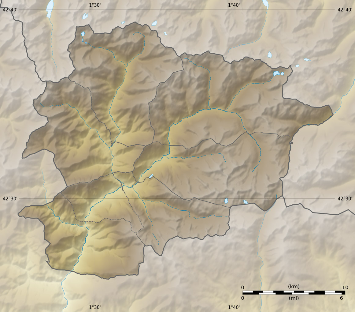 Pic de Médécourbe Location on the Andorra–France–Spain tripoint | |
| Location | Andorra – France – Spain border |
| Parent range | Pyrenees |
There is also an eastern tripoint of Andorra, France, and Spain approximately 6 km south of Pas de la Casa.[1]
References
- Govern d'Andorra (1991). Atlas d'Andorra, map of northwestern Andorra, p.20. (in Catalan)
This Andorran location article is a stub. You can help Wikipedia by expanding it. |
This Ariège geographical article is a stub. You can help Wikipedia by expanding it. |
This Spain location article is a stub. You can help Wikipedia by expanding it. |
На других языках
- [en] Pic de Médécourbe
[es] Pico de Medacorba
El pico de Medacorba (en francés, Pic de Médécourbe, en catalán, Pic de Medecorba) es una cumbre fronteriza de los Pirineos que constituye un trifinio entre Francia, España y Andorra. Con 2914 m de altitud, es una de las cinco cumbres más elevadas del Principado de Andorra.[1][2][fr] Pic de Médécourbe
Le pic de Médécourbe (pic de Medecorba en catalan, ou Pico de Medacorba en espagnol), est un sommet frontière des Pyrénées qui constitue un tripoint entre la France, l'Espagne et Andorre. Avec 2 912 à 2 915 m d'altitude, c'est l'un des cinq plus hauts sommets de la principauté d'Andorre[7],[3].[it] Pic de Médécourbe
Il Pic de Médécourbe (2.914 m s.l.m. - in catalano Pic de Medacorba) è una montagna dei Pirenei che si trova sul confine tra Andorra, Francia e Spagna.Текст в блоке "Читать" взят с сайта "Википедия" и доступен по лицензии Creative Commons Attribution-ShareAlike; в отдельных случаях могут действовать дополнительные условия.
Другой контент может иметь иную лицензию. Перед использованием материалов сайта WikiSort.org внимательно изучите правила лицензирования конкретных элементов наполнения сайта.
Другой контент может иметь иную лицензию. Перед использованием материалов сайта WikiSort.org внимательно изучите правила лицензирования конкретных элементов наполнения сайта.
2019-2026
WikiSort.org - проект по пересортировке и дополнению контента Википедии
WikiSort.org - проект по пересортировке и дополнению контента Википедии