geo.wikisort.org - Mountains
The Pic de Montferrat, culminating at 3,129 m (10,266 ft), is a crest summit on the Franco-Spanish border, in the massif du Vignemale in the Pyrenees.
| Pic de Montferrat | |
|---|---|
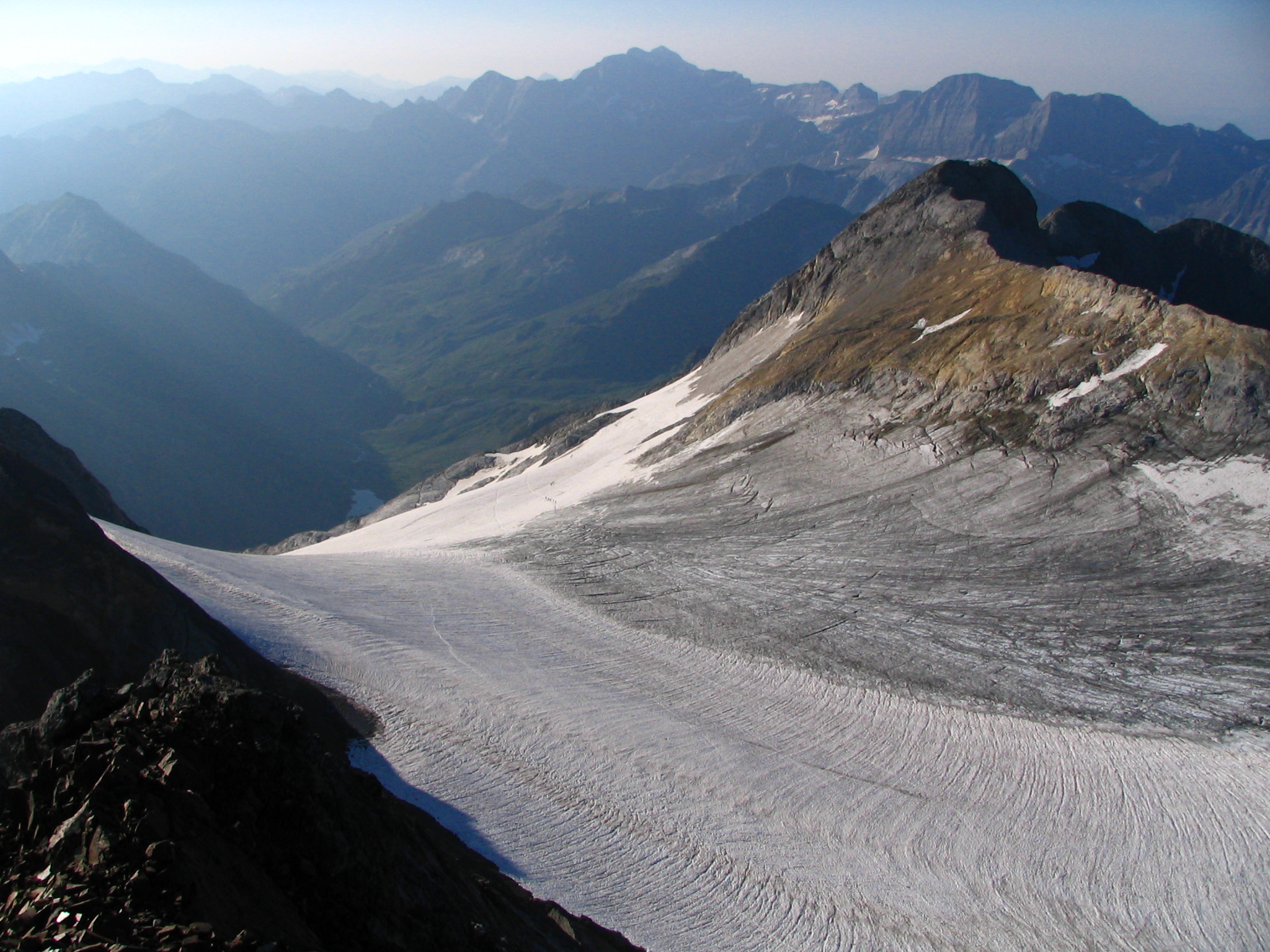 Le pic de Montferrat (à droite) | |
| Highest point | |
| Elevation | 3,219 m (10,561 ft)[1] |
| Prominence | 48 m (157 ft) |
| Coordinates | 42°46′01″N 0°08′18″E[1] |
| Geography | |
 Pic de Montferrat France / Spain | |
| Région Communauté | Midi-Pyrénées Communauté autonome d'Aragon |
| Département Province | Hautes-Pyrénées Huesca |
| Parent range | Massif du Vignemale Pyrenees |
| Climbing | |
| First ascent | 1792 par des bergers ? |
Topography
It is located in the Hautes-Pyrénées department, between Cauterets and Gavarnie, arrondissement of Argelès-Gazost in the Pyrenees National Park. It is bordered to the north by the glacier d'Ossoue and by le petit glacier du Montferrat to the south-east.
History
The first ascension was carried out by shepherds, on August 1, 1792, who built a turret on the summit, ordered by Louis-Philippe Reinhart Junker who led a team of geodesists in charge of defining the Franco-Spanish border path.
See also
References
This Hautes-Pyrénées geographical article is a stub. You can help Wikipedia by expanding it. |
На других языках
- [en] Pic de Montferrat
[fr] Montferrat (sommet)
Le Montferrat est un sommet de crête sur la frontière franco-espagnole dans le massif du Vignemale (chaîne des Pyrénées).[it] Pic de Montferrat
Il Pic de Montferrat è una montagna dei Pirenei, situata presso la frontiera franco-spagnola, facente parte del massiccio del Vignemale: è una delle vette pirenaiche che supera i 3.000 metri.Текст в блоке "Читать" взят с сайта "Википедия" и доступен по лицензии Creative Commons Attribution-ShareAlike; в отдельных случаях могут действовать дополнительные условия.
Другой контент может иметь иную лицензию. Перед использованием материалов сайта WikiSort.org внимательно изучите правила лицензирования конкретных элементов наполнения сайта.
Другой контент может иметь иную лицензию. Перед использованием материалов сайта WikiSort.org внимательно изучите правила лицензирования конкретных элементов наполнения сайта.
2019-2026
WikiSort.org - проект по пересортировке и дополнению контента Википедии
WikiSort.org - проект по пересортировке и дополнению контента Википедии