geo.wikisort.org - Mountains
Overton Hill is a 571 ft (174 m) hill at the southern edge of the Marlborough Downs in Wiltshire, England. It lies just west of the village of West Overton and about 4 miles (6 km) west from the town of Marlborough. The A4 road passes close to the north, and to the south is the River Kennet.
| Overton Hill | |
|---|---|
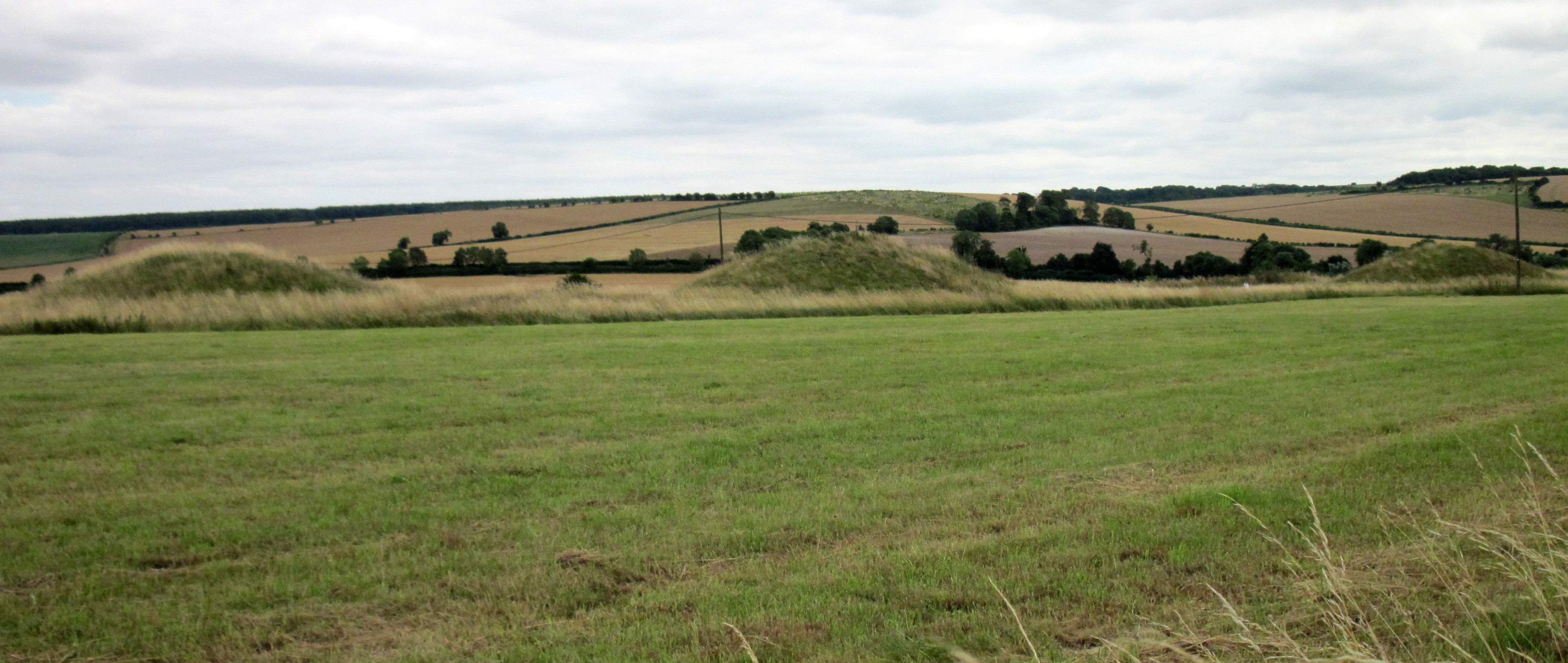 Round tumuli on Overton Hill | |
| Highest point | |
| Elevation | 174 m (571 ft) |
| Coordinates | 51°24′36″N 1°49′54″W |
| Geography | |
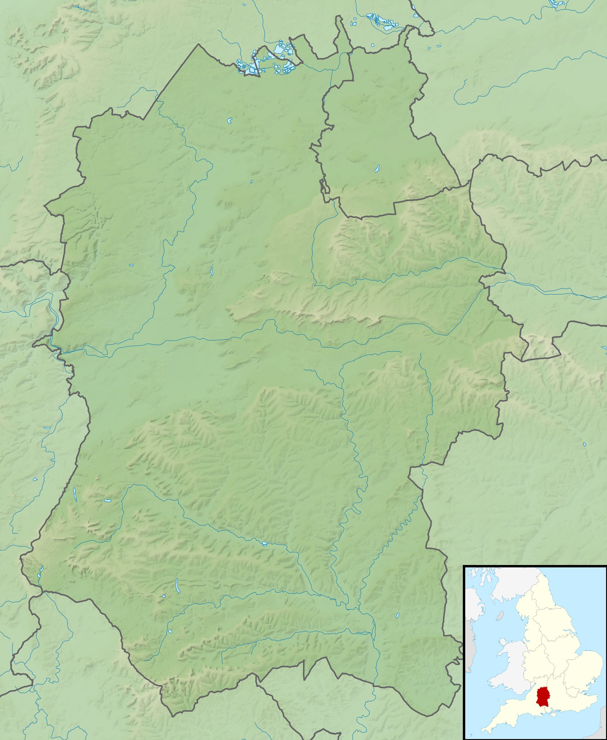 Overton Hill Overton Hill shown within Wiltshire | |
| Location | Wiltshire, England |
| OS grid | SU118679 |
| Topo map | OS Explorer 157 |
The hill is notable for being the start point of the Ridgeway National Trail, which follows an ancient trackway. There several scheduled archaeological sites including several round barrows (burial mounds)[1] on it, and the site of an Iron Age wooden circle known as The Sanctuary, indicating human activity for thousands of years.[2] The hill is part of the Avebury section of the Stonehenge and Avebury World Heritage Site.[3]
References
- Historic England. "Group of five round barrows north-east of the Sanctuary: part of the Overton Hill round barrow cemetery (1008464)". National Heritage List for England. Retrieved 11 April 2021.
- Historic England. "The Sanctuary, Overton Hill (1014563)". National Heritage List for England. Retrieved 16 June 2022.
- "Stonehenge, Avebury and Associated Sites - 1000097 | Historic England". historicengland.org.uk. Retrieved 16 June 2022.
This article about a location in Wiltshire is a stub. You can help Wikipedia by expanding it. |
На других языках
[de] Overton Hill
Overton Hill ist ein ungefähr 174 m hoher Hügel an der südlichen Grenze des Höhenzuges der Marlborough Downs in Wiltshire, England. Er liegt westlich des Ortes West Overton und südöstlich des Ortes Avebury. Die Fernstraße A4 führt unmittelbar an seinem flachen Gipfel vorbei.- [en] Overton Hill
Другой контент может иметь иную лицензию. Перед использованием материалов сайта WikiSort.org внимательно изучите правила лицензирования конкретных элементов наполнения сайта.
WikiSort.org - проект по пересортировке и дополнению контента Википедии