geo.wikisort.org - Mountains
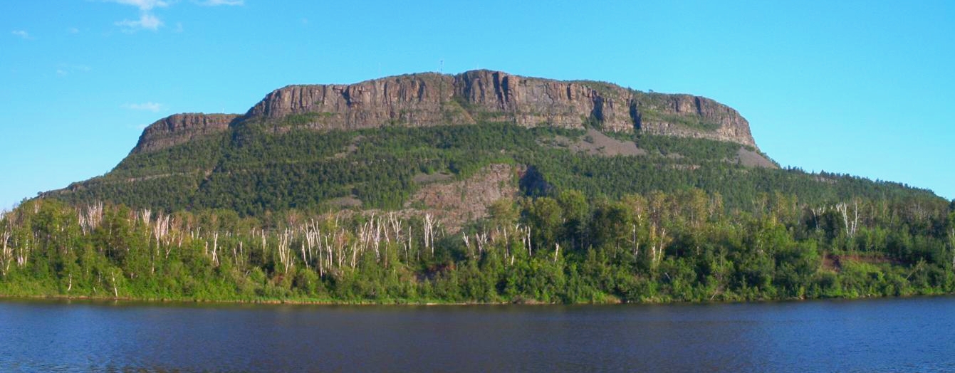
The Nor'Wester Mountains are a group of mountains immediately south of Thunder Bay, Ontario, Canada, located on the southern limits of the City of Thunder Bay and south of the Kaministiquia River.[1]: 32, 33 Mount McKay is the highest, most northern and best known of these mountains. Other prominent peaks include Godfrey, Hurlburt, Johnson, Matchett, McRae, McQuaig, Rose, and Squaretop.
| Nor'Wester Mountains | |
|---|---|
 The Nor'Westers seen from Neebing Township | |
| Highest point | |
| Peak | Mount McKay |
| Elevation | 483 m (1,585 ft) |
| Coordinates | 48°20′43″N 89°17′8″W |
| Geography | |
| Country | Canada |
| Province | Ontario |
Loch Lomond, 287 m (942 ft) above sea level, collects most of the runoff within the Nor’Wester Mountains; Loch Lomond is drained by the Lomond River.[1]: 5 A few square kilometers of mountain slope south of Mount McKay are drained by Whiskeyjack Creek.[1]: 5
References
- Watershed Characterization Report Lakehead Source Protection Area (PDF) (Report). Source Water Protection–Lakehead Region. March 2008. Retrieved June 14, 2010.[permanent dead link]
External links
Текст в блоке "Читать" взят с сайта "Википедия" и доступен по лицензии Creative Commons Attribution-ShareAlike; в отдельных случаях могут действовать дополнительные условия.
Другой контент может иметь иную лицензию. Перед использованием материалов сайта WikiSort.org внимательно изучите правила лицензирования конкретных элементов наполнения сайта.
Другой контент может иметь иную лицензию. Перед использованием материалов сайта WikiSort.org внимательно изучите правила лицензирования конкретных элементов наполнения сайта.
2019-2026
WikiSort.org - проект по пересортировке и дополнению контента Википедии
WikiSort.org - проект по пересортировке и дополнению контента Википедии