geo.wikisort.org - Mountains
Mørkdalstuva or Mørkdalstua is the tallest mountain on the island of Hitra in the municipality of Hitra in Trøndelag county, Norway. The 345-metre (1,132 ft) tall mountain lies on the western side of the island, about 8 kilometres (5.0 mi) northeast of the village of Forsnes and 7.5 kilometres (4.7 mi) southeast of the village of Kvenvær.[1]
| Mørkdalstuva | |
|---|---|
| Mørkdalstua | |
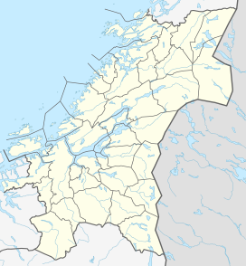 Mørkdalstuva Location of the mountain  Mørkdalstuva Mørkdalstuva (Norway) | |
| Highest point | |
| Elevation | 345 m (1,132 ft) |
| Prominence | 345 m (1,132 ft) |
| Isolation | 15.1 to 15.12 km (9.38 to 9.40 mi) |
| Coordinates | 63.4940°N 08.5139°E[1] |
| Geography | |
| Location | Trøndelag, Norway |
| Topo map | 1421 IV Skardsøya |
This article relies largely or entirely on a single source. (September 2021) |
Name
The mountain is named after the Mørkdalen valley. The last element is the finite form of tuve or tue which means "tussock". The valley name Mørkdalen is a compound of mørk which means "dark" and the finite form of dal which means "dale" or "valley".
References
- "Mørkdalstua, Hitra (Trøndelag)" (in Norwegian). yr.no. Retrieved 2018-02-16.
This Trøndelag location article is a stub. You can help Wikipedia by expanding it. |
Текст в блоке "Читать" взят с сайта "Википедия" и доступен по лицензии Creative Commons Attribution-ShareAlike; в отдельных случаях могут действовать дополнительные условия.
Другой контент может иметь иную лицензию. Перед использованием материалов сайта WikiSort.org внимательно изучите правила лицензирования конкретных элементов наполнения сайта.
Другой контент может иметь иную лицензию. Перед использованием материалов сайта WikiSort.org внимательно изучите правила лицензирования конкретных элементов наполнения сайта.
2019-2026
WikiSort.org - проект по пересортировке и дополнению контента Википедии
WikiSort.org - проект по пересортировке и дополнению контента Википедии