geo.wikisort.org - Mountains
Mynydd Llysiau is a subsidiary summit of Waun Fach in the Black Mountains in south-eastern Wales. It lies halfway between Waun Fach and Pen Allt-mawr. It is a distinguished summit with a steep eastern face.
| Mynydd Llysiau | |
|---|---|
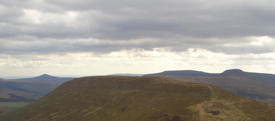 Mynydd Llysiau from near Waun Fach. Behind are: Sugar Loaf (left) Pen Allt-mawr (right) | |
| Highest point | |
| Elevation | 663 m (2,175 ft) |
| Prominence | 40 m (130 ft) |
| Parent peak | Waun Fach |
| Listing | Hewitt, Nuttall |
| Naming | |
| English translation | mountain of the fruit |
| Language of name | Welsh |
| Geography | |
| Location | Black Mountains, South Wales |
| OS grid | SO215300 |
| Topo map | OS Landranger 161 |
The summit, marked by a pile of stones, is long grassy ridge. To the south is Pen Twyn Glas, before which are two boundary stones that resemble grave stones.[1]
References
- Nuttall, John & Anne (1999). The Mountains of England & Wales - Volume 1: Wales (2nd edition ed.). Milnthorpe, Cumbria: Cicerone. ISBN 1-85284-304-7.
External links
Текст в блоке "Читать" взят с сайта "Википедия" и доступен по лицензии Creative Commons Attribution-ShareAlike; в отдельных случаях могут действовать дополнительные условия.
Другой контент может иметь иную лицензию. Перед использованием материалов сайта WikiSort.org внимательно изучите правила лицензирования конкретных элементов наполнения сайта.
Другой контент может иметь иную лицензию. Перед использованием материалов сайта WikiSort.org внимательно изучите правила лицензирования конкретных элементов наполнения сайта.
2019-2026
WikiSort.org - проект по пересортировке и дополнению контента Википедии
WikiSort.org - проект по пересортировке и дополнению контента Википедии